
1951 Map of Burke
USGS Topo · Published 1953About this map
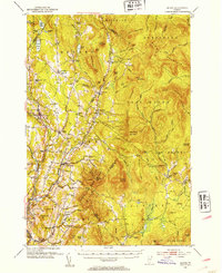
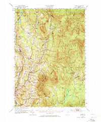
Burke Mountain dominates the center of this Northeast Kingdom landscape, marking a terrain of steep peaks and river valleys during the early 1950s. The map illustrates a transition from the agricultural valley of the Passumpsic River to the timber-rich elevations of the East Haven Range and Seneca Mountain. In this era, small rural centers like East Burke and West Burke are connected by the Canadian Pacific railroad, while isolated hamlets like Lost Nation and Gallup Mills suggest a history tied to logging and mountain life. The landscape is dotted with small-scale educational and spiritual landmarks, such as the Packer Sch, Bundy Sch, and Woodmont Ch. Recreational development is evident at Darling State Forest Park, which features a Ski Tow on the western slopes, reflecting the region's mid-century growth as a destination for outdoor enthusiasts alongside its traditional industries.
Find a feature on this map
144 named features on this map. Tap any name to fly to it.
Don’t see what you’re looking for? This feature index may not catch every label — zoom into the map to look around manually.
Map Details
Editions of this 1951 Burke Map
6 editions found
Other maps of this area

1900 · Whitefield
USGS Topo · 1:62,500

1919 · Lake Memphremagog
USGS Topo · 1:62,500

1920 · Derby
USGS Topo · 1:62,500

1920 · Guildhall
USGS Topo · 1:62,500

1923 · Lake Memphremagog
USGS Topo · 1:48,000

1924 · Island Pond
USGS Topo · 1:48,000

1925 · Memphremagog
USGS Topo · 1:62,500

1926 · Island Pond
USGS Topo · 1:62,500

1929 · Averill
USGS Topo · 1:62,500

1931 · Guildhall
USGS Topo · 1:48,000