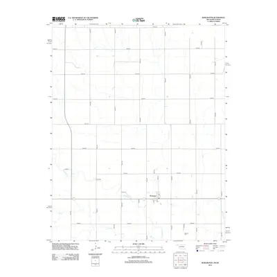
2012 Map of Burlington
USGS Topo · Published 2012About this map
Burlington serves as the central hub for this rural stretch along the Oklahoma-Kansas border, defined by its rigid grid of section roads and the winding paths of Driftwood Cr and Dry Cr. The settlement core around Main St and 4th St shows the concentrated residential and agricultural structures typical of the region's small farming communities. To the southeast, the Apostolic Cem stands as a significant landmark for local family historians and genealogists. The landscape transition between the northern high ground and the creek valleys below is captured in fine detail, illustrating how local waterways like Driftwood Cr have historically influenced the placement of homesteads and connecting routes like Kraft Ln.
Find a feature on this map
31 named features on this map. Tap any name to fly to it.
Don’t see what you’re looking for? This feature index may not catch every label — zoom into the map to look around manually.
Map Details
Editions of this 2012 Burlington Map
This is the sole edition of this map. No revisions or reprints were ever made.
Other maps of this area

1889 · Anthony
USGS Topo · 1:125,000

1891 · Medicine Lodge
USGS Topo · 1:125,000

1891 · Anthony
USGS Topo · 1:125,000

1893 · Medicine Lodge
USGS Topo · 1:125,000

1955 · Woodward
USGS Topo · 1:250,000

1955 · Pratt
USGS Topo · 1:250,000

1958 · Woodward
USGS Topo · 1:250,000

1959 · Pratt
USGS Topo · 1:250,000

1968 · Capron
USGS Topo · 1:24,000

1969 · Alva SE
USGS Topo · 1:24,000