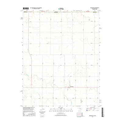
2016 Map of Burlington
USGS Topo · Published 2016About this map
Burlington serves as the central hub of this agricultural landscape in Alfalfa County, Oklahoma, positioned just south of the border with Barber County, Kansas. The map documents a highly structured grid of section roads, including Stateline Rd and E0090 Rd, which facilitate transport through the vast plains. This 2016 survey illustrates how the local infrastructure follows the rigid township and range system, with the town center situated at the intersection of Main St and Maple ST. Waterways like Driftwood Cr and its tributary Dry Cr carve winding paths through the otherwise geometric farm plots, influencing the placement of local routes like Kraft Ln. South of the main settlement, the Apostolic Cem remains a significant landmark for those tracing local family history and genealogical roots in the region.
Find a feature on this map
21 named features on this map. Tap any name to fly to it.
Don’t see what you’re looking for? This feature index may not catch every label — zoom into the map to look around manually.
Map Details
Editions of this 2016 Burlington Map
This is the sole edition of this map. No revisions or reprints were ever made.
Other maps of this area

1889 · Anthony
USGS Topo · 1:125,000

1891 · Medicine Lodge
USGS Topo · 1:125,000

1891 · Anthony
USGS Topo · 1:125,000

1893 · Medicine Lodge
USGS Topo · 1:125,000

1955 · Woodward
USGS Topo · 1:250,000

1955 · Pratt
USGS Topo · 1:250,000

1958 · Woodward
USGS Topo · 1:250,000

1959 · Pratt
USGS Topo · 1:250,000

1968 · Capron
USGS Topo · 1:24,000

1969 · Alva SE
USGS Topo · 1:24,000