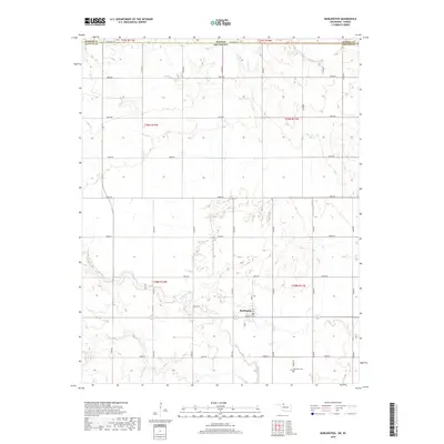
2018 Map of Burlington
USGS Topo · Published 2018About this map
Burlington serves as the central hub of this northern Oklahoma agricultural landscape, situated just south of the Kansas Oklahoma state line. The town's grid is anchored by Main St and Maple St, where a local Po indicates its continued role as a regional post office. The surrounding terrain is defined by the winding course of Driftwood Cr and its smaller tributary Dry Cr, which carve gentle incisions through the plains of Alfalfa County. Away from the town center, the map reveals a meticulously surveyed section-line road network, including Stateline Rd and E0090 Rd. Near the southern edge, the Apostolic Cem provides a point of genealogical interest, marking a quiet legacy of the families who settled this borderland between Oklahoma and Barber County, Kansas.
Find a feature on this map
34 named features on this map. Tap any name to fly to it.
Don’t see what you’re looking for? This feature index may not catch every label — zoom into the map to look around manually.
Map Details
Editions of this 2018 Burlington Map
This is the sole edition of this map. No revisions or reprints were ever made.
Other maps of this area

1889 · Anthony
USGS Topo · 1:125,000

1891 · Medicine Lodge
USGS Topo · 1:125,000

1891 · Anthony
USGS Topo · 1:125,000

1893 · Medicine Lodge
USGS Topo · 1:125,000

1955 · Woodward
USGS Topo · 1:250,000

1955 · Pratt
USGS Topo · 1:250,000

1958 · Woodward
USGS Topo · 1:250,000

1959 · Pratt
USGS Topo · 1:250,000

1968 · Capron
USGS Topo · 1:24,000

1969 · Alva SE
USGS Topo · 1:24,000