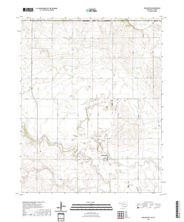
2022 Map of Burlington
USGS Topo · Published 2022About this map
Burlington anchors this northern Oklahoma landscape, situated just south of the border with Kansas. The township is characterized by a precise grid of section-line roads, including Stateline Rd and N2570 Rd, which bisect the rolling prairie of the Great Plains. The hydrology of the region is defined by the winding course of Driftwood Cr and its smaller tributary, Drag Cr, which cut through the agricultural blocks.
Find a feature on this map
34 named features on this map. Tap any name to fly to it.
Don’t see what you’re looking for? This feature index may not catch every label — zoom into the map to look around manually.
Map Details
Editions of this 2022 Burlington Map
This is the sole edition of this map. No revisions or reprints were ever made.
Other maps of this area

1889 · Anthony
USGS Topo · 1:125,000

1891 · Medicine Lodge
USGS Topo · 1:125,000

1891 · Anthony
USGS Topo · 1:125,000

1893 · Medicine Lodge
USGS Topo · 1:125,000

1955 · Woodward
USGS Topo · 1:250,000

1955 · Pratt
USGS Topo · 1:250,000

1958 · Woodward
USGS Topo · 1:250,000

1959 · Pratt
USGS Topo · 1:250,000

1968 · Capron
USGS Topo · 1:24,000

1969 · Alva SE
USGS Topo · 1:24,000