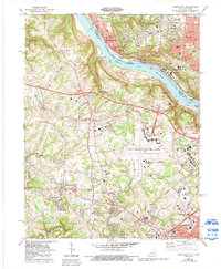
1983 Map of Burlington
USGS Topo · Published 1992About this map
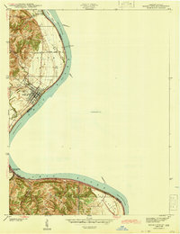
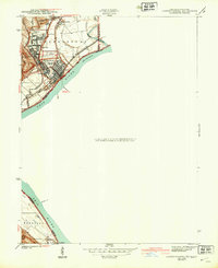
The Ohio River valley serves as a bustling corridor of industry and transit in this late 20th-century revision, where the river separates Cincinnati, Ohio, from the growing suburbs of Boone County, Kentucky. The massive footprint of the Greater Cincinnati International Airport dominates the central plateau, illustrating the region's mid-century shift toward aviation and commercial logistics. Along the riverbanks, traditional transport persists at the Anderson Ferry, while the rail lines of Conrail and the Baltimore and Ohio hug the northern shore.
Find a feature on this map
58 named features on this map. Tap any name to fly to it.
Don’t see what you’re looking for? This feature index may not catch every label — zoom into the map to look around manually.
Map Details
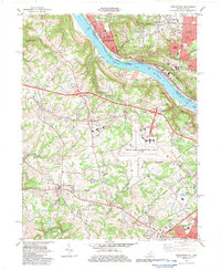
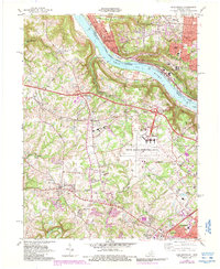
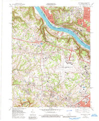
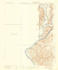
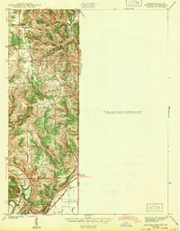
Editions of this 1983 Burlington Map
4 editions found
Other maps of this area

1914 · West Cincinnati
USGS Topo · 1:62,500

1915 · Lawrenceburg
USGS Topo · 1:48,000

1928 · Lawrenceburg
USGS Topo · 1:62,500
1932 · Lawrenceburg
USGS Topo · 1:62,500
1943 · Rising Sun
USGS Topo · 1:24,000
1943 · Hooven
USGS Topo · 1:24,000
1943 · Lawrenceburg
USGS Topo · 1:24,000
1950 · Union
USGS Topo · 1:24,000
1950 · Independence
USGS Topo · 1:24,000

1950 · Covington
USGS Topo · 1:24,000