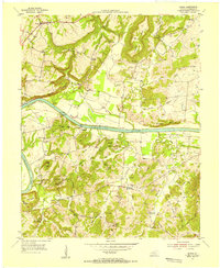
1954 Map of Burna
USGS Topo · Published 1955About this map
Cumberland River navigation and small-scale mining define this mid-century portrait of Livingston County. The river cuts a dramatic path through the landscape, featuring the prominent Horseshoe Bend and a series of historical river access points such as Lemen Landing, Moxley Landing, and Mitchell Landing. The uplands are marked by an intricate network of family-named cemeteries and rural institutions, including Scotts Chapel, Livingston Chapel, and the Beechdale Sch.
Find a feature on this map
69 named features on this map. Tap any name to fly to it.
Don’t see what you’re looking for? This feature index may not catch every label — zoom into the map to look around manually.
Map Details
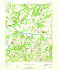
Editions of this 1954 Burna Map
2 editions found
Other maps of this area

1916 · Fords Ferry
USGS Topo · 1:62,500

1916 · Golconda
USGS Topo · 1:62,500

1920 · Goloonda
USGS Topo · 1:48,000

1921 · Fords Ferry
USGS Topo · 1:48,000

1921 · Golconda
USGS Topo · 1:62,500

1925 · Cave In Rock
USGS Topo · 1:62,500

1928 · Eddyville
USGS Topo · 1:48,000

1929 · Smithland
USGS Topo · 1:62,500

1931 · Eddyville
USGS Topo · 1:62,500

1936 · Eddyville
USGS Topo · 1:48,000