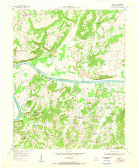
1954 Map of Burna
USGS Topo · Published 1973About this map
The Cumberland River dominates this mid-century landscape of Livingston County, cutting a wide path south of the Bissell Bluff and north of the high ridges at Haw Hill and Dunlap Hill. Small settlements like Burna and Vicksburg are connected by a network of rural roads, including several that lead to river access points like Moxley Landing and Mitchell Landing. The map illustrates a community deeply tied to its geography, where numerous family cemeteries and country churches, such as Scotts Chapel and Mint Springs Missionary Ch, serve as social anchors.
Find a feature on this map
145 named features on this map. Tap any name to fly to it.
Don’t see what you’re looking for? This feature index may not catch every label — zoom into the map to look around manually.
Map Details
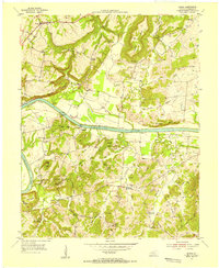
Editions of this 1954 Burna Map
2 editions found
Other maps of this area

1916 · Fords Ferry
USGS Topo · 1:62,500

1916 · Golconda
USGS Topo · 1:62,500

1920 · Goloonda
USGS Topo · 1:48,000

1921 · Fords Ferry
USGS Topo · 1:48,000

1921 · Golconda
USGS Topo · 1:62,500

1925 · Cave In Rock
USGS Topo · 1:62,500

1928 · Eddyville
USGS Topo · 1:48,000

1929 · Smithland
USGS Topo · 1:62,500

1931 · Eddyville
USGS Topo · 1:62,500

1936 · Eddyville
USGS Topo · 1:48,000