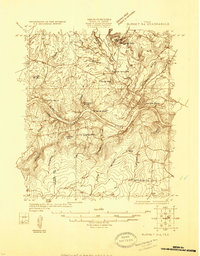
1925 Map of Burnet 3-d
USGS Topo · Published 1925About this map
Colorado River bends sharply through the Central Texas hill country in this mid-1920s survey, revealing a landscape defined by its unique granite geology and early industrial development. The town of Marble Falls occupies the eastern bank of the river, situated near Granite Shoal and Granite Falls. To the northwest, the influence of the local quarrying industry is evident at Granite Mtn and the adjacent Granite Mtn Sta.
Find a feature on this map
27 named features on this map. Tap any name to fly to it.
Don’t see what you’re looking for? This feature index may not catch every label — zoom into the map to look around manually.
Map Details
Editions of this 1925 Burnet 3-d Map
This is the sole edition of this map. No revisions or reprints were ever made.
Other maps of this area

1887 · Blanco
USGS Topo · 1:125,000

1887 · Burnet
USGS Topo · 1:125,000

1893 · Burnet
USGS Topo · 1:125,000

1894 · Blanco
USGS Topo · 1:125,000
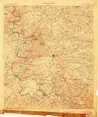
1903 · Burnet
USGS Topo · 1:125,000
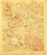
1909 · Burnet
USGS Topo · 1:125,000
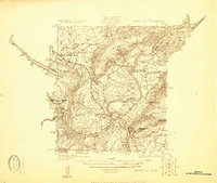
1925 · Burnet 3-b
USGS Topo · 1:48,000
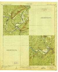
1929 · Marble Falls
USGS Topo · 1:62,500
1931 · Marble Falls
USGS Topo · 1:48,000
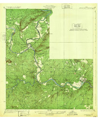
1932 · Marble Falls
USGS Topo · 1:62,500