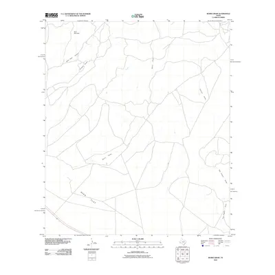
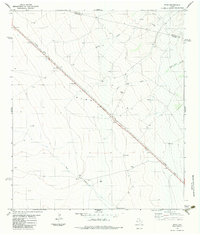
2010 Map of Burro Draw
USGS Topo · Published 2010About this map
Ryan Flat spreads across the southwestern portion of this West Texas terrain, defining a broad expanse of high desert floor. The landscape is characterized by a complex network of drainage systems that carve through the arid geography, most notably the winding course of Burro Draw and the smaller Juniper Draw. To the north, the elevation rises toward Buck Mountain, which overlooks the deep incision of Owls Nest Canyon.
Find a feature on this map
7 named features on this map. Tap any name to fly to it.
Don’t see what you’re looking for? This feature index may not catch every label — zoom into the map to look around manually.
Map Details
Editions of this 2010 Burro Draw Map
This is the sole edition of this map. No revisions or reprints were ever made.
Other maps of this area

1894 · Valentine
USGS Topo · 1:125,000

1895 · Marfa
USGS Topo · 1:125,000

1897 · Valentine
USGS Topo · 1:125,000

1943 · Valentine
USGS Topo · 1:125,000

1959 · Marfa
USGS Topo · 1:250,000

1965 · Marfa
USGS Topo · 1:250,000
1978 · Blue Mountain
USGS Topo · 1:24,000
1978 · Paradise Mountain
USGS Topo · 1:24,000
1978 · San Antonio Pass
USGS Topo · 1:24,000
1983 · Ryan
USGS Topo · 1:24,000