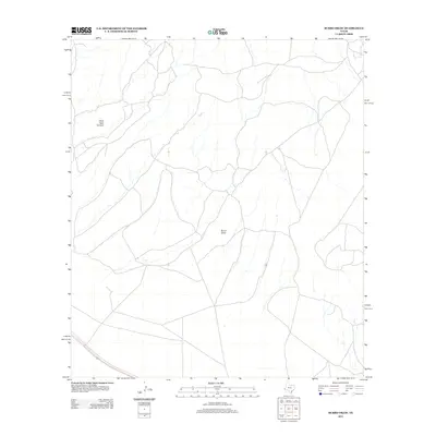
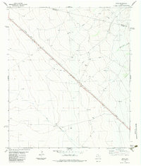
2012 Map of Burro Draw
USGS Topo · Published 2012About this map
Owls Nest Canyon and the winding course of Burro Draw characterize this expanse of Presidio County, Texas, recorded in 2012. The landscape is defined by the drainage patterns and relief typical of the high Chihuahuan Desert, where intermittent watercourses have carved distinct channels into the terrain. This map captures the network of ranch roads and local tracks that cross the arid territory, illustrating the sparse infrastructure and large-scale landholdings of the West Texas interior. The absence of concentrated settlements emphasizes the remote, ranching-oriented nature of the region during the early 21st century.
Find a feature on this map
2 named features on this map. Tap any name to fly to it.
Don’t see what you’re looking for? This feature index may not catch every label — zoom into the map to look around manually.
Map Details
Editions of this 2012 Burro Draw Map
This is the sole edition of this map. No revisions or reprints were ever made.
Other maps of this area

1894 · Valentine
USGS Topo · 1:125,000

1895 · Marfa
USGS Topo · 1:125,000

1897 · Valentine
USGS Topo · 1:125,000

1943 · Valentine
USGS Topo · 1:125,000

1959 · Marfa
USGS Topo · 1:250,000

1965 · Marfa
USGS Topo · 1:250,000
1978 · Blue Mountain
USGS Topo · 1:24,000
1978 · Paradise Mountain
USGS Topo · 1:24,000
1978 · San Antonio Pass
USGS Topo · 1:24,000
1983 · Ryan
USGS Topo · 1:24,000