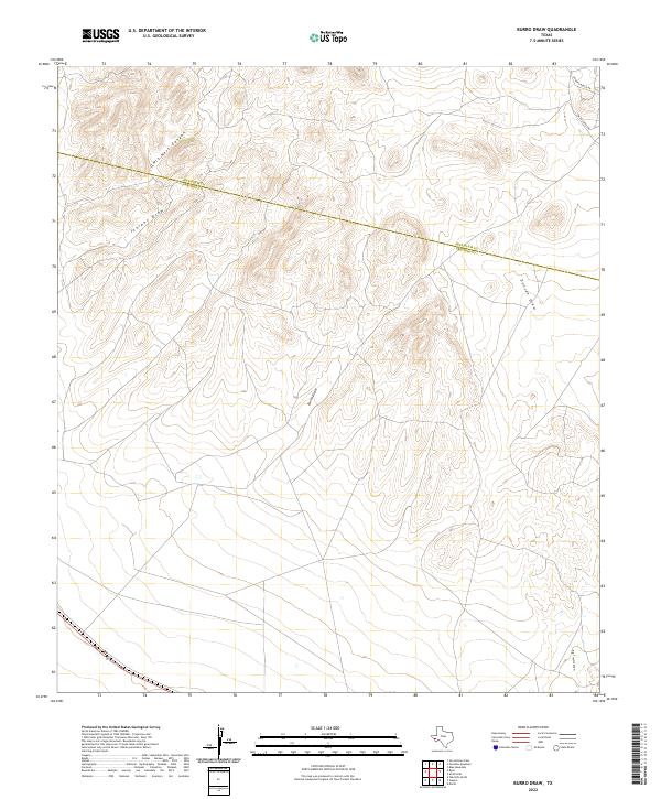
2022 Map of Burro Draw
USGS Topo · Published 2022About this map
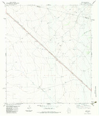
The Jeff Davis Co and Presidio Co line cuts across this high-desert terrain, where drainage patterns define the landscape of the Trans-Pecos. The geography is characterized by a series of significant seasonal watercourses, most notably Burro Draw and Owls Nest Canyon, which indicate the complex natural irrigation and erosion paths through the region. This 2022 survey captures the area's transition into modern land management, where ranching legacies are preserved in the naming of local infrastructure like Hughes Ranch Rd and Smith-Coffey Rd. Beyond these few marked tracks, the map reveals an environment primarily shaped by natural topography, including Juniper Draw, Duncan Draw, and Big Trestle Draw. The relative lack of permanent settlements emphasizes the vast, open character of this West Texas borderland.
Find a feature on this map
8 named features on this map. Tap any name to fly to it.
Don’t see what you’re looking for? This feature index may not catch every label — zoom into the map to look around manually.
Map Details
Editions of this 2022 Burro Draw Map
This is the sole edition of this map. No revisions or reprints were ever made.
Other maps of this area

1894 · Valentine
USGS Topo · 1:125,000

1895 · Marfa
USGS Topo · 1:125,000

1897 · Valentine
USGS Topo · 1:125,000

1943 · Valentine
USGS Topo · 1:125,000

1959 · Marfa
USGS Topo · 1:250,000

1965 · Marfa
USGS Topo · 1:250,000
1978 · Blue Mountain
USGS Topo · 1:24,000
1978 · Paradise Mountain
USGS Topo · 1:24,000
1978 · San Antonio Pass
USGS Topo · 1:24,000
1983 · Ryan
USGS Topo · 1:24,000