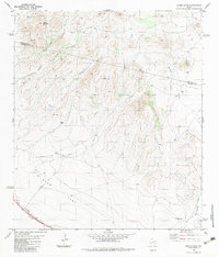
1983 Map of Burro Draw
USGS Topo · Published 1983About this map
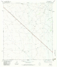
Southern Pacific tracks cut through the southwestern corner of this West Texas landscape, skirting the edge of the expansive Ryan Flat basin. The topography is defined by the county line between Jeff Davis and Presidio counties, where high ground like Buck Mountain gives way to a network of drainage systems. Numerous earthen tanks and the Thick Tank Well underscore the importance of water management in this arid cattle-country environment. Deep incisions such as Owls Nest Canyon and Juniper Draw feed into Burro Draw, illustrating the complex natural irrigation patterns that flow toward the flats. A series of remote routes, including a Jeep Trail, provide the only access across these high-desert divides and through Big Trestle Draw.
Find a feature on this map
16 named features on this map. Tap any name to fly to it.
Don’t see what you’re looking for? This feature index may not catch every label — zoom into the map to look around manually.
Map Details
Editions of this 1983 Burro Draw Map
This is the sole edition of this map. No revisions or reprints were ever made.
Other maps of this area

1894 · Valentine
USGS Topo · 1:125,000

1895 · Marfa
USGS Topo · 1:125,000

1897 · Valentine
USGS Topo · 1:125,000

1943 · Valentine
USGS Topo · 1:125,000

1959 · Marfa
USGS Topo · 1:250,000

1965 · Marfa
USGS Topo · 1:250,000
1978 · Blue Mountain
USGS Topo · 1:24,000
1978 · Paradise Mountain
USGS Topo · 1:24,000
1978 · San Antonio Pass
USGS Topo · 1:24,000
1983 · Ryan
USGS Topo · 1:24,000