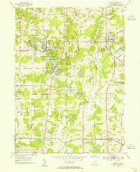
1953 Map of Burton
USGS Topo · Published 1955About this map
Punderson Lake and the surrounding Punderson Lake State Park dominate the central landscape of this mid-century Geauga County survey. The area is characterized by numerous glacial kettles and basins, including Kiwanis Lake, Restful Lake, and Lake Kelso, many of which supported small lakeside developments. The Cuyahoga River meanders through the eastern half of the map, passing just east of the village of Burton, where the Fairground and Welton Cem are prominent features.
Find a feature on this map
53 named features on this map. Tap any name to fly to it.
Don’t see what you’re looking for? This feature index may not catch every label — zoom into the map to look around manually.
Map Details
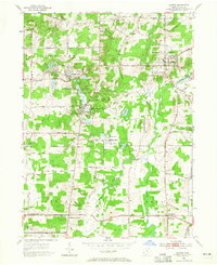
Editions of this 1953 Burton Map
2 editions found
Other maps of this area

1904 · Chardon
USGS Topo · 1:62,500

1905 · Garrettsville
USGS Topo · 1:62,500

1905 · Mentor
USGS Topo · 1:62,500

1906 · Chardon
USGS Topo · 1:62,500

1906 · Chagrin Falls
USGS Topo · 1:62,500

1907 · Garrettsville
USGS Topo · 1:62,500

1907 · Mentor
USGS Topo · 1:62,500

1908 · Chagrin Falls
USGS Topo · 1:62,500

1950 · Cleveland
USGS Topo · 1:250,000

1953 · Chardon
USGS Topo · 1:24,000
Featured Places
- Burton Township, OH
- Burton Village, OH
- Welshfield, Troy Township
- Auburn Township, OH
- Munson Township, OH