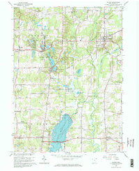
1966 Map of Burton
USGS Topo · Published 1968About this map
Ladue Reservoir dominates the southern landscape of this Geauga County region, its waters contained within the Akron Water Supply Reservation Boundary. The map illustrates a transitional era for northeast Ohio, where established rural hamlets like Welshfield and Auburn Corners sit adjacent to large-scale water management projects. To the north, the village of Burton serves as a local hub, featuring its distinctive Fairgrounds and High School.
Find a feature on this map
53 named features on this map. Tap any name to fly to it.
Don’t see what you’re looking for? This feature index may not catch every label — zoom into the map to look around manually.
Map Details
Editions of this 1966 Burton Map
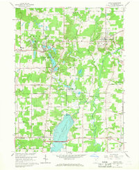
2 editions found
Other maps of this area

1904 · Chardon
USGS Topo · 1:62,500

1905 · Garrettsville
USGS Topo · 1:62,500

1905 · Mentor
USGS Topo · 1:62,500

1906 · Chardon
USGS Topo · 1:62,500

1906 · Chagrin Falls
USGS Topo · 1:62,500

1907 · Garrettsville
USGS Topo · 1:62,500

1907 · Mentor
USGS Topo · 1:62,500

1908 · Chagrin Falls
USGS Topo · 1:62,500

1950 · Cleveland
USGS Topo · 1:250,000

1953 · Chardon
USGS Topo · 1:24,000
Featured Places
- Burton Township, OH
- Burton Village, OH
- Welshfield, Troy Township
- Auburn Township, OH
- Munson Township, OH