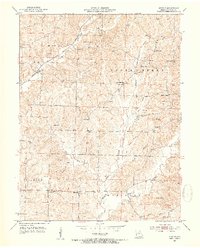
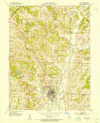
1953 Map of Burton
USGS Topo · Published 1954About this map
Burton stands as a focal point along the Missouri Kansas Texas railroad in this early 1950s depiction of northern Howard County. The landscape is defined by the winding paths of Salt Fork and Moniteau Creek, which shaped the placement of rural schools and family cemeteries. A high density of rural institutions like Myers High Sch, Hocker Sch, and Log Chapel reveals a well-settled agricultural community. The transition from Bonne Femme to Richmond townships is marked by numerous family names on landmarks, such as Atkins Cem and Mobley Sch. Further east, the small settlement of Punkin Center sits near Mt Pleasant Ch, illustrating the local significance of church and school as social anchors before larger-scale consolidation occurred. The presence of Inactive Mines near the southern boundary suggests the waning of earlier local extraction industries during this era.
Find a feature on this map
53 named features on this map. Tap any name to fly to it.
Don’t see what you’re looking for? This feature index may not catch every label — zoom into the map to look around manually.
Map Details
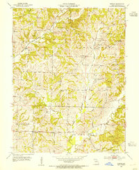
Editions of this 1953 Burton Map
3 editions found
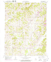
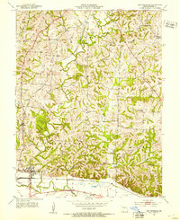
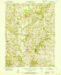
Other maps of this area

1890 · Moberly
USGS Topo · 1:125,000

1890 · Glasgow
USGS Topo · 1:125,000

1917 · Sturgeon
USGS Topo · 1:62,500
1952 · New Franklin
USGS Topo · 1:24,000
1952 · Hilldale
USGS Topo · 1:24,000

1953 · Moberly
USGS Topo · 1:250,000
1953 · Fayette
USGS Topo · 1:24,000
1953 · Burton
USGS Topo · 1:24,000
1953 · Renick
USGS Topo · 1:24,000
1953 · Higbee
USGS Topo · 1:24,000