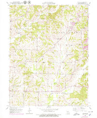
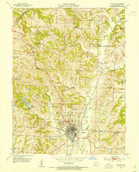
1953 Map of Burton
USGS Topo · Published 1979About this map
Burton stands as a focal point in this mid-century portrait of Howard County, Missouri, where small rural communities and institutional landmarks defined the social landscape. The map reveals a dense network of country schools like Locust Grove Sch and Mobley Sch, alongside spiritual centers such as the Log Chapel and New Hope Ch. A notable civic feature is the County Infirmary located near Lyle Branch, illustrating the era's local approach to social services.
Find a feature on this map
54 named features on this map. Tap any name to fly to it.
Don’t see what you’re looking for? This feature index may not catch every label — zoom into the map to look around manually.
Map Details
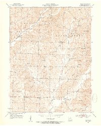
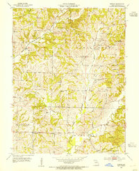
Editions of this 1953 Burton Map
3 editions found
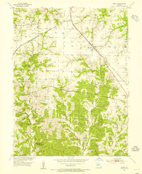
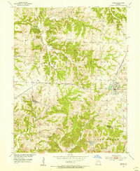
Other maps of this area

1890 · Moberly
USGS Topo · 1:125,000

1890 · Glasgow
USGS Topo · 1:125,000

1917 · Sturgeon
USGS Topo · 1:62,500
1952 · New Franklin
USGS Topo · 1:24,000
1952 · Hilldale
USGS Topo · 1:24,000

1953 · Moberly
USGS Topo · 1:250,000
1953 · Fayette
USGS Topo · 1:24,000
1953 · Burton
USGS Topo · 1:24,000
1953 · Renick
USGS Topo · 1:24,000
1953 · Higbee
USGS Topo · 1:24,000