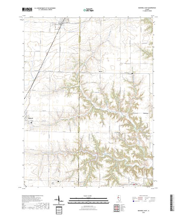
2024 Map of Bushnell East
USGS Topo · Published 2024About this map
Prairie City and the eastern outskirts of Bushnell anchor this modern landscape, where the agricultural grid of western Illinois is carved by the winding drainage of Shaw Creek and Gallett Creek. The border between McDonough Co and Fulton Co is clearly defined by the McDonough Co Line Rd, serving as a central axis for the surrounding farms. This terrain is characterized by subtle elevation changes, most notably at Dyers Mound, which rises above the surrounding fields near Mound Cem.
Find a feature on this map
70 named features on this map. Tap any name to fly to it.
Don’t see what you’re looking for? This feature index may not catch every label — zoom into the map to look around manually.
Map Details
Editions of this 2024 Bushnell East Map
This is the sole edition of this map. No revisions or reprints were ever made.
Other maps of this area

1912 · Macomb
USGS Topo · 1:62,500

1914 · Macomb
USGS Topo · 1:62,500

1915 · Avon
USGS Topo · 1:62,500

1916 · Good Hope
USGS Topo · 1:62,500

1918 · Vermont
USGS Topo · 1:62,500

1918 · Good Hope
USGS Topo · 1:62,500

1921 · Vermont
USGS Topo · 1:62,500

1944 · Avon
USGS Topo · 1:62,500

1947 · Adair
USGS Topo · 1:24,000
1948 · Adair
USGS Topo · 1:24,000