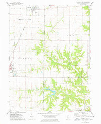
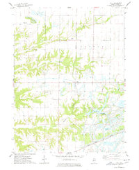
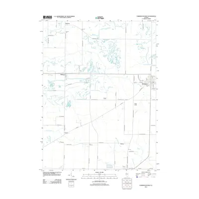
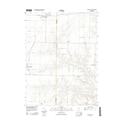
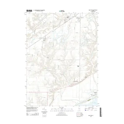
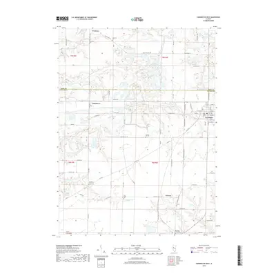
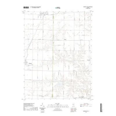
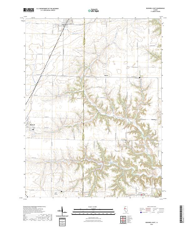
1974 Map of Bushnell East
USGS Topo · Published 1978About this map
Prairie City and Bushnell anchor this 1970s landscape where the agricultural prairies of Prairie City and Bushnell townships meet the wooded drainages of Drowning Fork and Shaw Creek. The map documents a period of transition in western Illinois, showing the Prairie City Airport and the expansion of residential streets like Muller St alongside older landmarks such as First Baptist Ch and the Veterans Memorial Park.
Find a feature on this map
28 named features on this map. Tap any name to fly to it.
Don’t see what you’re looking for? This feature index may not catch every label — zoom into the map to look around manually.
Map Details
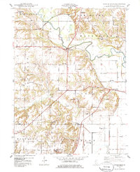
Editions of this 1974 Bushnell East Map
This is the sole edition of this map. No revisions or reprints were ever made.
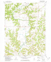
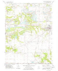
Historical Maps of Bushnell Through Time
35 maps found
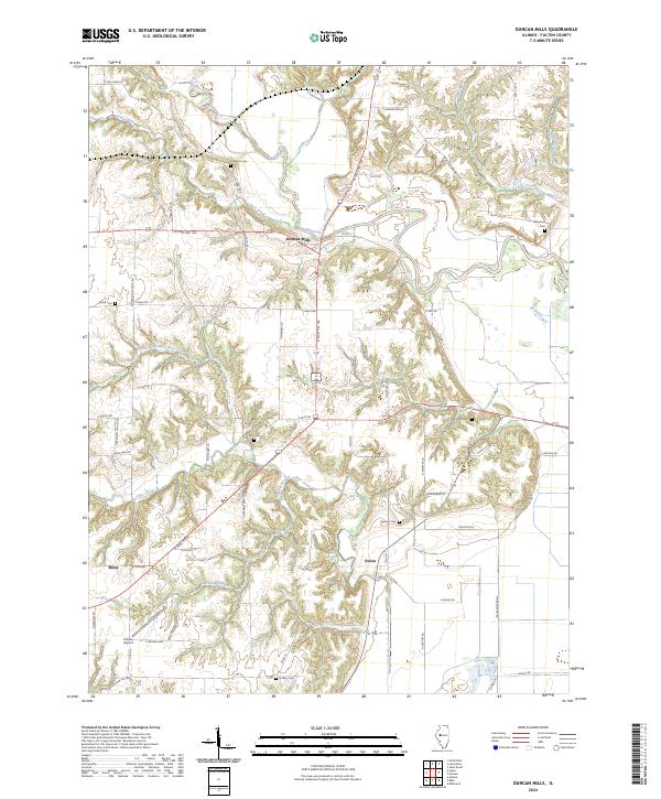
1948 Duncan Mills
Fulton County, IL
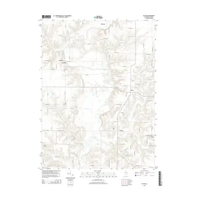
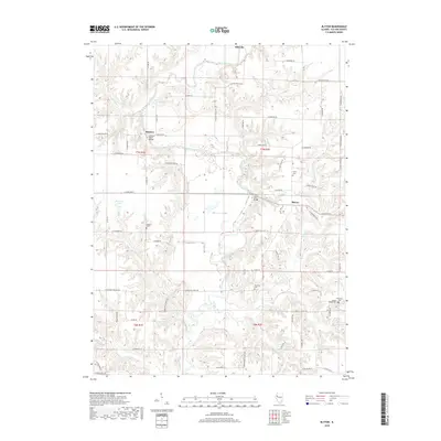
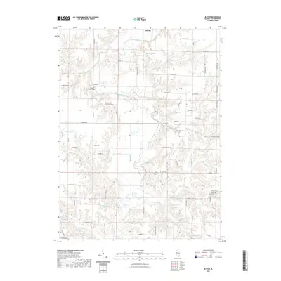
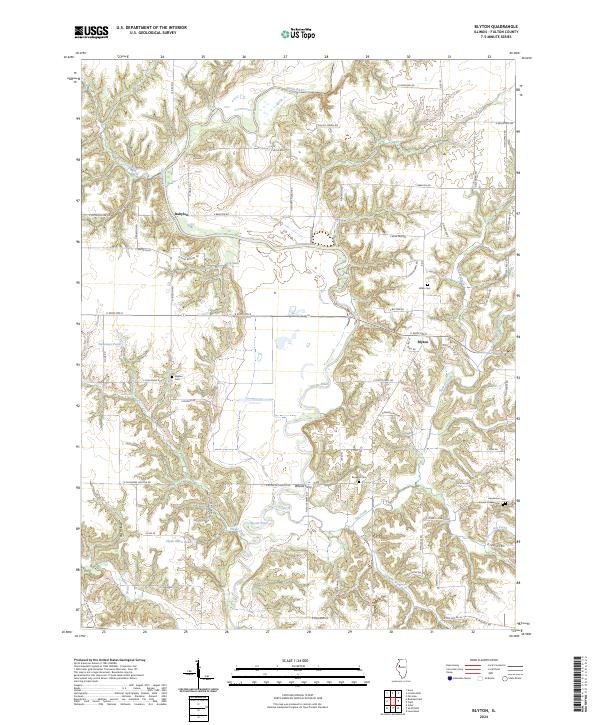
1974 Blyton
Fulton County, IL
1974 Bushnell East
Fulton County, IL
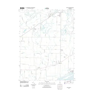
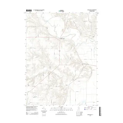
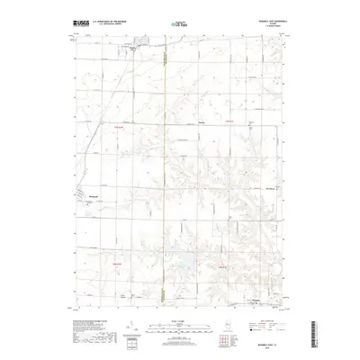
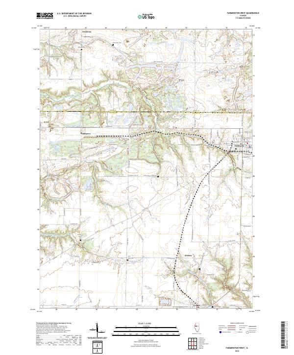
1974 Farmington West
Fulton County, IL
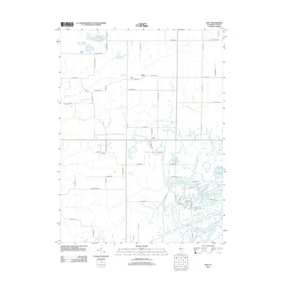
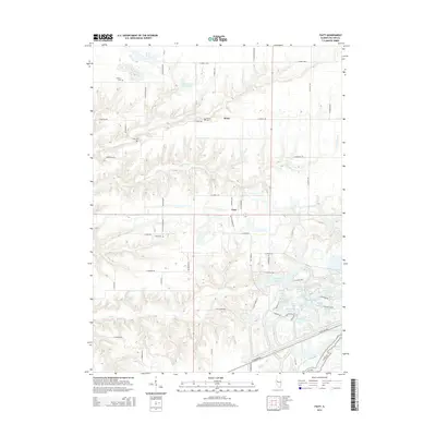
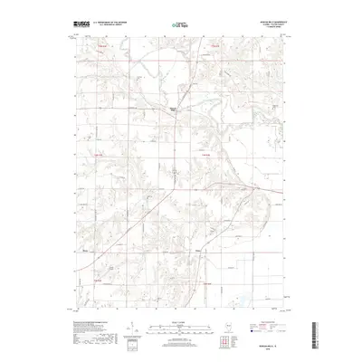
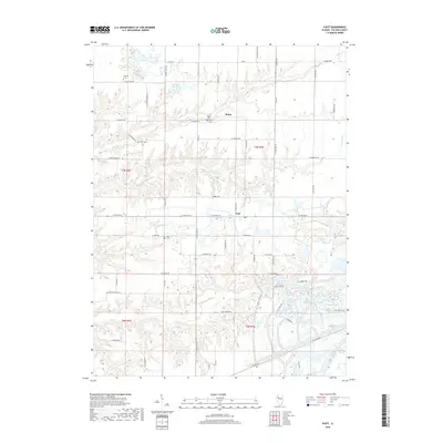
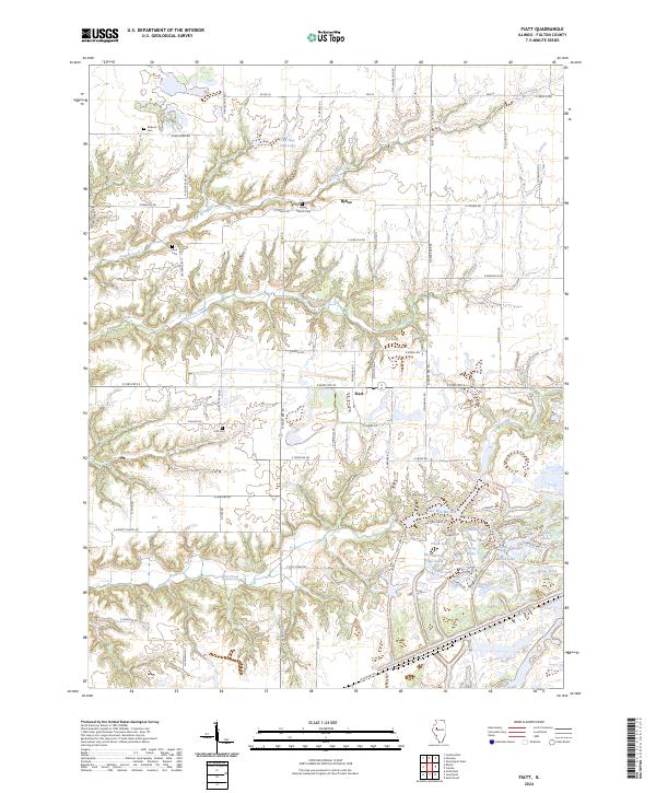
1974 Fiatt
Fulton County, IL
2012 Blyton
Fulton County, IL
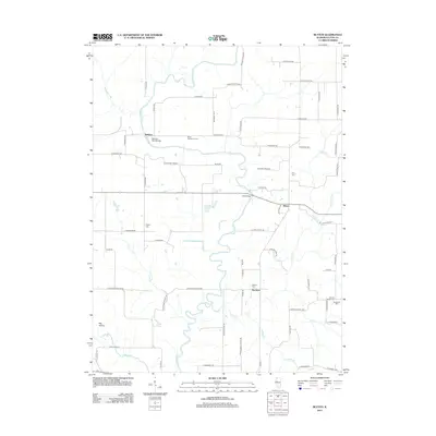
2012 Bushnell East
Fulton County, IL
2012 Duncan Mills
Fulton County, IL
2012 Farmington West
Fulton County, IL
2012 Fiatt
Fulton County, IL
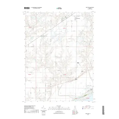
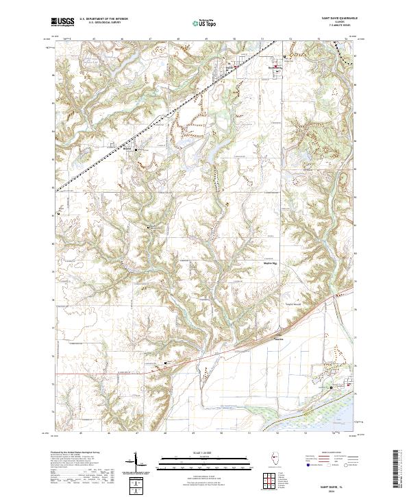
2012 Saint David
Fulton County, IL
2015 Blyton
Fulton County, IL
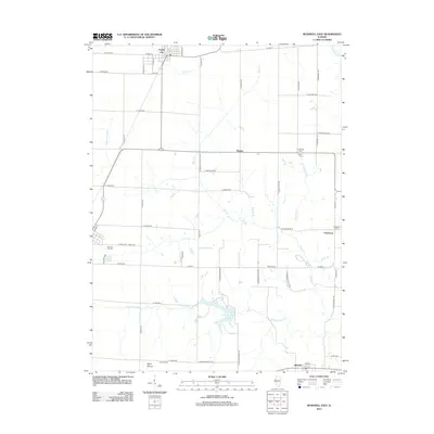
2015 Bushnell East
Fulton County, IL
2015 Duncan Mills
Fulton County, IL
2015 Farmington West
Fulton County, IL
2015 Fiatt
Fulton County, IL
2015 Saint David
Fulton County, IL
2018 Blyton
Fulton County, IL
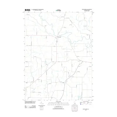
2018 Bushnell East
Fulton County, IL
2018 Duncan Mills
Fulton County, IL
2018 Farmington West
Fulton County, IL
2018 Fiatt
Fulton County, IL
2018 Saint David
Fulton County, IL
2021 Blyton
Fulton County, IL
2021 Bushnell East
Fulton County, IL
2021 Duncan Mills
Fulton County, IL
2021 Farmington West
Fulton County, IL
2021 Fiatt
Fulton County, IL
2021 Saint David
Fulton County, IL
2024 Blyton
Fulton County, IL
2024 Bushnell East
Fulton County, IL
2024 Duncan Mills
Fulton County, IL
2024 Farmington West
Fulton County, IL
2024 Fiatt
Fulton County, IL
2024 Saint David
Fulton County, IL