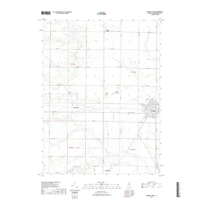
2018 Map of Bushnell West
USGS Topo · Published 2018About this map
Bushnell serves as the primary municipal center in this McDonough County landscape, with its residential grid extending north to W Hess St and south toward the Industrial Park Rd. The terrain is defined by the dendritic drainage of the E Fork La Moine River and its numerous tributaries, including Farmers Fork and the aptly named Short Fork. These waterways slice through the agricultural tablelands, creating a distinct pattern of wooded creek bottoms and open upland fields.
Find a feature on this map
81 named features on this map. Tap any name to fly to it.
Don’t see what you’re looking for? This feature index may not catch every label — zoom into the map to look around manually.
Map Details
Editions of this 2018 Bushnell West Map
This is the sole edition of this map. No revisions or reprints were ever made.
Other maps of this area

1912 · Macomb
USGS Topo · 1:62,500

1914 · Macomb
USGS Topo · 1:62,500

1915 · Avon
USGS Topo · 1:62,500

1916 · Good Hope
USGS Topo · 1:62,500

1918 · Vermont
USGS Topo · 1:62,500

1918 · Good Hope
USGS Topo · 1:62,500

1921 · Vermont
USGS Topo · 1:62,500

1944 · Avon
USGS Topo · 1:62,500

1947 · Adair
USGS Topo · 1:24,000
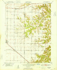
1948 · Adair
USGS Topo · 1:24,000