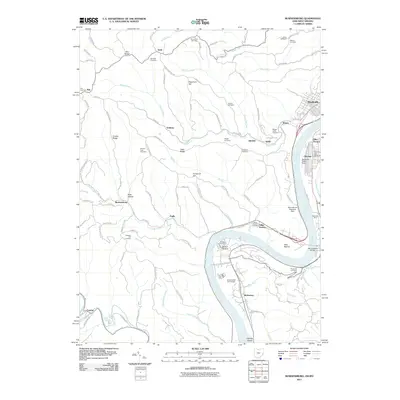
2011 Map of Businessburg
USGS Topo · Published 2011About this map
Ohio River industrial and residential corridors dominate this survey of the borderlands between Ohio and West Virginia. Along the eastern bank, the communities of Glendale and Shadyside show established infrastructure near Zitko Terrace, while the inland West Virginia side reveals a more rural character defined by steep ridges like Crozier Ridge and Key Ridge. The map documents a complex network of small settlements and family-named landmarks, such as Anvil, Vallonia, and Businessburg, connected by winding routes like Mount Victory Rd.
Find a feature on this map
107 named features on this map. Tap any name to fly to it.
Don’t see what you’re looking for? This feature index may not catch every label — zoom into the map to look around manually.
Map Details
Editions of this 2011 Businessburg Map
This is the sole edition of this map. No revisions or reprints were ever made.
Other maps of this area

1902 · Wheeling
USGS Topo · 1:62,500

1904 · Cameron
USGS Topo · 1:62,500

1905 · Clarington
USGS Topo · 1:62,500

1905 · St. Clairsville
USGS Topo · 1:62,500

1935 · Cameron
USGS Topo · 1:62,500

1935 · Clarington
USGS Topo · 1:62,500

1935 · Wheeling
USGS Topo · 1:62,500

1940 · Clarington
USGS Topo · 1:62,500

1942 · Cameron
USGS Topo · 1:62,500

1942 · Wheeling
USGS Topo · 1:62,500