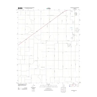
2012 Map of Busterville
USGS Topo · Published 2012About this map
Agricultural operations and specialized infrastructure define this West Texas landscape south of Lubbock in the early 21st century. The map highlights the region's cotton-processing heritage with the presence of Farm Center Gin and Busters Gin, situated along a grid of section roads and farm-to-market routes. Aviation is represented by the privately situated Mc Nabb Farm Airport, illustrating the integration of air travel within large-scale farming enterprises. The transit network is anchored by Hwy 62, which cuts diagonally across the rectilinear survey lines, while roads such as Fm-1585 and Fm-179 provide essential connectivity between rural homesteads and emerging suburban developments near Dowden Ave and Corpus Ave.
Find a feature on this map
62 named features on this map. Tap any name to fly to it.
Don’t see what you’re looking for? This feature index may not catch every label — zoom into the map to look around manually.
Map Details
Editions of this 2012 Busterville Map
This is the sole edition of this map. No revisions or reprints were ever made.
Other maps of this area

1954 · Lubbock
USGS Topo · 1:250,000

1954 · Brownfield
USGS Topo · 1:250,000

1957 · New Home
USGS Topo · 1:62,500

1957 · Lubbock West
USGS Topo · 1:24,000

1957 · Lubbock
USGS Topo · 1:62,500

1957 · Meadow
USGS Topo · 1:62,500

1957 · Wolfforth
USGS Topo · 1:62,500

1958 · Brownfield
USGS Topo · 1:250,000

1962 · Brownfield
USGS Topo · 1:250,000

1976 · Wolfforth SE
USGS Topo · 1:24,000