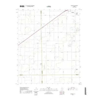
2019 Map of Busterville
USGS Topo · Published 2019About this map
Wolfforth sits at the northeastern corner of this West Texas survey, where the expanding street grid meets the high plains agriculture of the South Plains. The landscape is defined by its precise section-line road network, including Fm 1585 and Fm 179, which navigate a terrain dotted with numerous small, ephemeral basins. Aviation footprints are notable here, with Mc Nabb Farm Airport situated in the central fields and the Southwest Lubbock Airport located further south near the county line. The map captures a significant jurisdictional junction where the boundaries of Lubbock, Hockley, Terry, and Lynn counties meet. The transition from suburban development in the north to extensive farmland toward Woodrow Rd illustrates the rural character of the region as it appeared in the late 2010s.
Find a feature on this map
70 named features on this map. Tap any name to fly to it.
Don’t see what you’re looking for? This feature index may not catch every label — zoom into the map to look around manually.
Map Details
Editions of this 2019 Busterville Map
This is the sole edition of this map. No revisions or reprints were ever made.
Other maps of this area

1954 · Lubbock
USGS Topo · 1:250,000

1954 · Brownfield
USGS Topo · 1:250,000

1957 · New Home
USGS Topo · 1:62,500

1957 · Lubbock West
USGS Topo · 1:24,000

1957 · Lubbock
USGS Topo · 1:62,500

1957 · Meadow
USGS Topo · 1:62,500

1957 · Wolfforth
USGS Topo · 1:62,500

1958 · Brownfield
USGS Topo · 1:250,000

1962 · Brownfield
USGS Topo · 1:250,000

1976 · Wolfforth SE
USGS Topo · 1:24,000