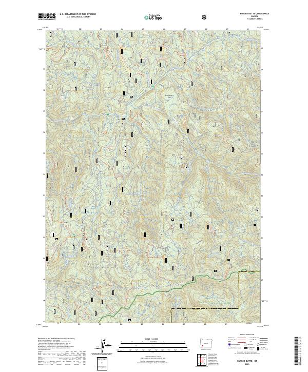
2023 Map of Butler Butte
USGS Topo · Published 2023About this map
Umpqua National Forest and Rogue River National Forest meet across this high-elevation terrain along the Douglas and Jackson county line. The landscape is defined by the Rogue River Range and Grassy Range, where notable summits like Butler Butte overlook a complex network of drainages including Jackson Creek and Big Serviceberry Creek. A sprawling system of forest service trails, such as the Bunchgrass Meadows Trl and various numbered routes like Nfst-2900 Trl, reveals a region managed for timber and backcountry access. Local topographic landmarks like Cow Horn Arch and Tucker Gap provide specific points of interest for navigators, while the named expanse of Serviceberry Flat breaks the steep descent toward the creek beds. This survey provides an exact record of the contemporary trail system and watershed boundaries in this portion of the Southern Oregon Cascades.
Find a feature on this map
61 named features on this map. Tap any name to fly to it.
Don’t see what you’re looking for? This feature index may not catch every label — zoom into the map to look around manually.
Map Details
Editions of this 2023 Butler Butte Map
2 editions found
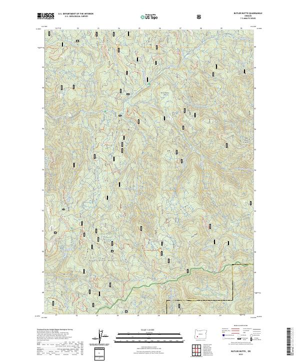
Other maps of this area

1891 · Ashland
USGS Topo · 1:250,000

1893 · Ashland
USGS Topo · 1:250,000

1897 · Ashland
USGS Topo · 1:250,000

1944 · Tiller
USGS Topo · 1:62,500

1944 · Abbott Butte
USGS Topo · 1:62,500

1947 · Abbott Butte
USGS Topo · 1:62,500

1955 · Quartz Mtn
USGS Topo · 1:62,500

1955 · Red Butte
USGS Topo · 1:62,500

1955 · Medford
USGS Topo · 1:250,000

1957 · Medford
USGS Topo · 1:250,000