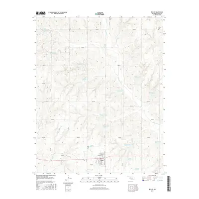
2016 Map of Butler
USGS Topo · Published 2016About this map
The town of Butler serves as the focal point of this Custer County landscape, characterized by a complex network of water management sites along the winding W Barnitz Cr and its many tributaries. The area is marked by a unique series of flood control structures, including numbered features like Barnitz Cr Site 42 Reservoir and Barnitz Cr Site 55 Reservoir, alongside family-named water bodies such as Creach Reservoir and V Fletcher Reservoir. This water-rich geography supports a rural grid of section-line roads, such as N2130 Rd and E0900 Rd, which connect the town to outlying landmarks. Genealogists will find significant value in the scattered burial grounds, including Osceola Cem, Antioch Cem, Shiloh Cem, and Adams Cem, which provide historical anchors across the prairie.
Find a feature on this map
57 named features on this map. Tap any name to fly to it.
Don’t see what you’re looking for? This feature index may not catch every label — zoom into the map to look around manually.
Map Details
Editions of this 2016 Butler Map
This is the sole edition of this map. No revisions or reprints were ever made.
Other maps of this area

1955 · Clinton
USGS Topo · 1:250,000

1957 · Clinton
USGS Topo · 1:250,000

1957 · Butler
USGS Topo · 1:62,500

1960 · Hammon
USGS Topo · 1:62,500

1961 · Leedey
USGS Topo · 1:62,500

1962 · Aledo
USGS Topo · 1:62,500

1976 · Butler NW
USGS Topo · 1:24,000

1976 · Butler NE
USGS Topo · 1:24,000

1976 · Butler SW
USGS Topo · 1:24,000
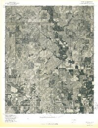
1976 · Butler SE
USGS Topo · 1:24,000