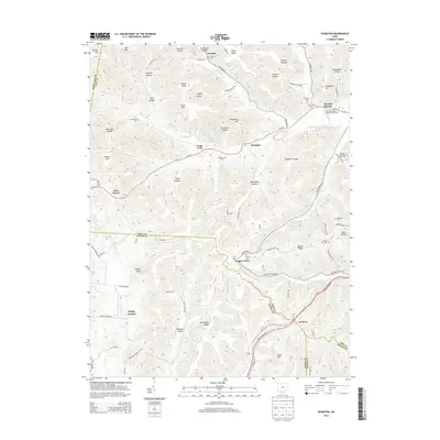
2013 Map of Byington
USGS Topo · Published 2013About this map
Kincaid Springs State Fish Hatchery sits in the northeast corner of this map, a significant landmark near the settlement of Kincaid Springs. The landscape is defined by the intersections of four counties—Highland, Pike, Adams, and Scioto—centering on the village of Byington and the surrounding southern Ohio hills. Small communities and family-named hollows like Lawhorn Hollow and Davidson Hollow are connected by a network of rural routes, including Oh-124 and the Appalachian Highway to the south.
Find a feature on this map
84 named features on this map. Tap any name to fly to it.
Don’t see what you’re looking for? This feature index may not catch every label — zoom into the map to look around manually.
Map Details
Editions of this 2013 Byington Map
This is the sole edition of this map. No revisions or reprints were ever made.
Other maps of this area

1915 · Bainbridge
USGS Topo · 1:48,000

1915 · Otway
USGS Topo · 1:62,500

1915 · Piketon
USGS Topo · 1:62,500

1916 · Peebles
USGS Topo · 1:62,500

1917 · Bainbridge
USGS Topo · 1:62,500

1917 · Piketon
USGS Topo · 1:62,500

1917 · Otway
USGS Topo · 1:62,500

1918 · Peebles
USGS Topo · 1:62,500

1944 · Piketon
USGS Topo · 1:62,500

1947 · Columbus
USGS Topo · 1:250,000