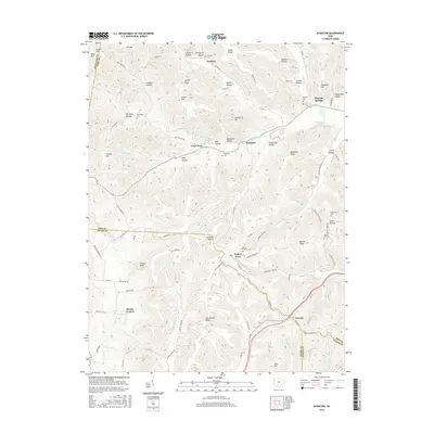
2016 Map of Byington
USGS Topo · Published 2016About this map
Byington and Newfain anchor this survey of the southern Ohio highlands, where the borders of Pike, Adams, Highland, and Scioto counties meet. The landscape is defined by a dense network of hollows and ridges, including Lawhorn Hollow and Beaver Ridge, which channel local waterways like Sunfish Cr and Scioto Brush Cr. This modern map details the persistent rural character of the region, marked by small settlements such as Poplar Grove and Smoky Corners. For local historians and genealogists, the map identifies several small burial grounds tied to early families and communities, such as the Washburn Cem, Westwood Cem, and New Fain Cem. These sites, often located on higher ground near landmarks like Staley Knob or Humphrey Hill, provide concrete points of reference for tracing ancestral roots through the rugged topography of the southern Ohio hills.
Find a feature on this map
87 named features on this map. Tap any name to fly to it.
Don’t see what you’re looking for? This feature index may not catch every label — zoom into the map to look around manually.
Map Details
Editions of this 2016 Byington Map
This is the sole edition of this map. No revisions or reprints were ever made.
Other maps of this area

1915 · Bainbridge
USGS Topo · 1:48,000

1915 · Otway
USGS Topo · 1:62,500

1915 · Piketon
USGS Topo · 1:62,500

1916 · Peebles
USGS Topo · 1:62,500

1917 · Bainbridge
USGS Topo · 1:62,500

1917 · Piketon
USGS Topo · 1:62,500

1917 · Otway
USGS Topo · 1:62,500

1918 · Peebles
USGS Topo · 1:62,500

1944 · Piketon
USGS Topo · 1:62,500

1947 · Columbus
USGS Topo · 1:250,000