
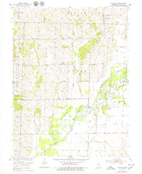
1953 Map of Bynumville
USGS Topo · Published 1955About this map
Bynumville and the agricultural lands of northern Chariton County are captured here during a period of significant river management. The landscape is defined by the winding course of the Chariton River, where an Old Channel sits beside engineered levee systems and prominent spoil banks, reflecting mid-century efforts to control the floodplain. Small rural hubs like Hamden and Musselfork anchor the local community, which is further documented through numerous country churches such as Mt Zion Ch and Kelly Ch.
Find a feature on this map
29 named features on this map. Tap any name to fly to it.
Don’t see what you’re looking for? This feature index may not catch every label — zoom into the map to look around manually.
Map Details
Editions of this 1953 Bynumville Map
2 editions found
Other maps of this area

1890 · Glasgow
USGS Topo · 1:125,000

1953 · Moberly
USGS Topo · 1:250,000

1953 · Marceline
USGS Topo · 1:24,000

1953 · Clifton Hill
USGS Topo · 1:24,000

1953 · Prairie Hill
USGS Topo · 1:24,000

1953 · Lagonda
USGS Topo · 1:24,000

1953 · Wien
USGS Topo · 1:24,000
1953 · Mike
USGS Topo · 1:24,000

1954 · Moberly
USGS Topo · 1:250,000
1956 · Salisbury
USGS Topo · 1:24,000