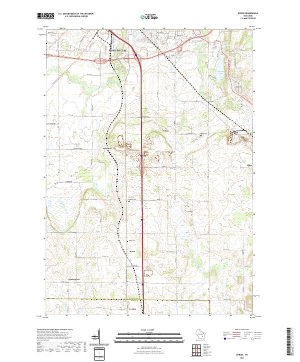
2022 Map of Byron
USGS Topo · Published 2022About this map
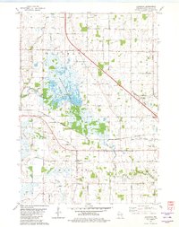
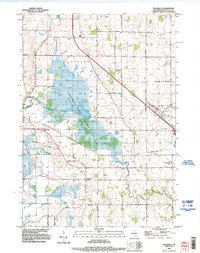
Glacial topography and well-established agricultural crossroads define this portion of the Fond du Lac and Dodge County border. The village of Byron serves as a central point, surrounded by family-named roads and several historic burying grounds, including the Saint John Catholic Cem and Byron Cem. To the north, the landscape transitions into the outskirts of Fond du Lac, where the E Br Fond Du Lac River and Lake De Neveu provide significant hydrological markers.
Find a feature on this map
93 named features on this map. Tap any name to fly to it.
Don’t see what you’re looking for? This feature index may not catch every label — zoom into the map to look around manually.
Map Details
Editions of this 2022 Byron Map
This is the sole edition of this map. No revisions or reprints were ever made.
Historical Maps of Lomira Through Time
20 maps found
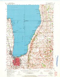
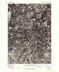
1955 Fond Du Lac
Fond du Lac County, WI
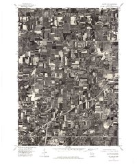
1955 Fond Du Lac
Fond du Lac County, WI

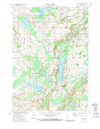
1974 Byron
Fond du Lac County, WI
1974 Dundee
Fond du Lac County, WI
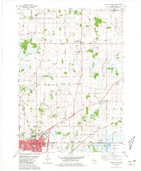
1975 Waupun NE
Fond du Lac County, WI
1975 Waupun NW
Fond du Lac County, WI
1980 Eldorado
Fond du Lac County, WI

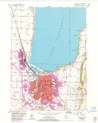
1980 Fond Du Lac
Fond du Lac County, WI
1980 Waupun North
Fond du Lac County, WI
1992 Eldorado
Fond du Lac County, WI
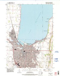
1992 Fond Du Lac
Fond du Lac County, WI
1992 Saint Cloud
Fond du Lac County, WI
1992 Saint Peter
Fond du Lac County, WI
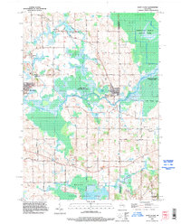
1999 Dundee
Fond du Lac County, WI
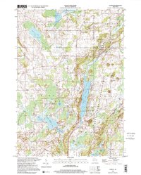
2022 Byron
Fond du Lac County, WI
2022 Dundee
Fond du Lac County, WI
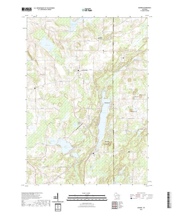
2022 Eldorado
Fond du Lac County, WI
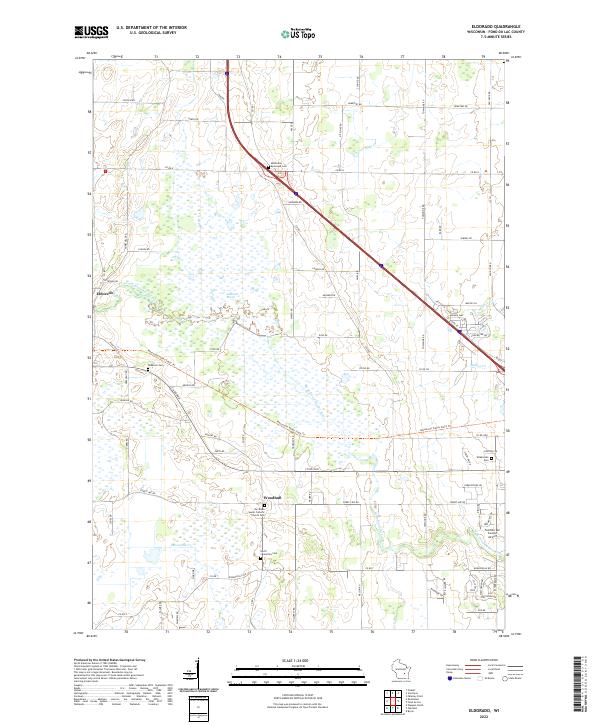
2022 Saint Cloud
Fond du Lac County, WI
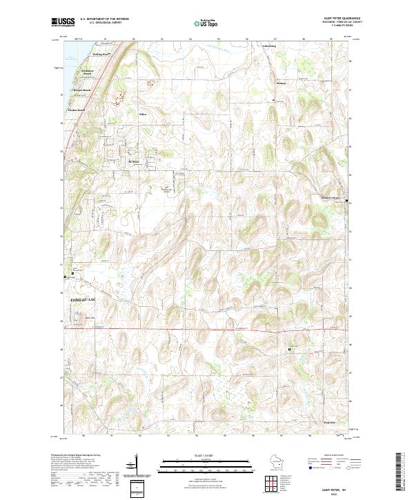
2022 Saint Peter
Fond du Lac County, WI
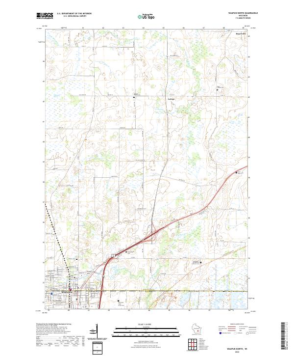
2022 Waupun North
Fond du Lac County, WI