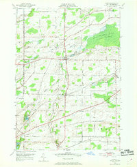
1950 Map of Byron
USGS Topo · Published 1969About this map
Black Creek and its many tributaries, including Bigelow Creek, define the drainage of this central Genesee County landscape as it appeared at mid-century. The area's settlement pattern is anchored by the villages of Byron and South Byron, connected by a dense network of early roads such as Telephone Road and Warboys Road. The influence of heavy transportation is evident through the corridor of the New York Central Railroad which bisects the townships. Genealogists will find a high density of rural burial sites, from Sodom Cem near the center of the map to Walkers Cem and North Byron Cem. The eastern portion is dominated by the sprawling Bergen Swamp, much of which is preserved within the Byron Bergen Wildlife Sanctuary. To the south, the settlement of Morganville sits near the limestone quarrying potential of the area, while smaller clusters like West Bergen and Pumpkin Hill dot the agricultural periphery.
Find a feature on this map
43 named features on this map. Tap any name to fly to it.
Don’t see what you’re looking for? This feature index may not catch every label — zoom into the map to look around manually.
Map Details
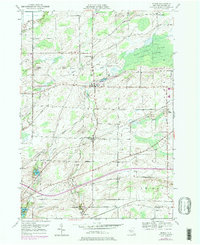
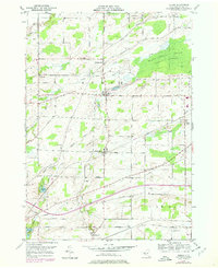
Editions of this 1950 Byron Map
Other maps of this area

1897 · Albion
USGS Topo · 1:62,500

1899 · Brockport
USGS Topo · 1:62,500

1904 · Batavia
USGS Topo · 1:62,500

1904 · Caledonia
USGS Topo · 1:62,500

1934 · Brockport
USGS Topo · 1:24,000

1935 · Churchville
USGS Topo · 1:24,000

1944 · Churchville
USGS Topo · 1:31,680

1944 · Holley
USGS Topo · 1:31,680

1944 · Byron
USGS Topo · 1:31,680

1944 · Stafford
USGS Topo · 1:31,680