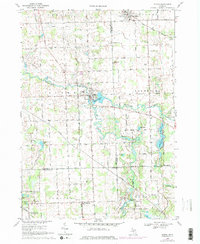
1969 Map of Byron
USGS Topo · Published 1976About this map
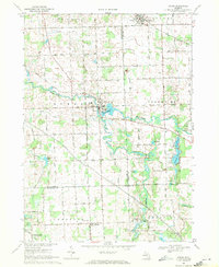
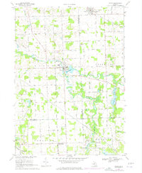
Byron serves as the focal point of this late-1960s survey, where the Shiawassee River widens into the Byron Millpond near the center of the village. The landscape is defined by the wandering courses of the river and its South Branch Shiawassee River, which cut through the agricultural terrain of Shiawassee, Genesee, and Livingston counties. To the northeast, the village of Gaines sits along the rail lines, while Cohoctah anchors the southern reaches of the map. This era of mapping shows the region's transition, with established small-town centers and rural farmsteads surrounding prominent water features like Silver Lake. The detailed topography illustrates the low-lying wetlands and drainage patterns that have historically shaped development and land use across these three Michigan counties.
Find a feature on this map
7 named features on this map. Tap any name to fly to it.
Don’t see what you’re looking for? This feature index may not catch every label — zoom into the map to look around manually.
Map Details
Editions of this 1969 Byron Map
3 editions found
Other maps of this area

1907 · Howell
USGS Topo · 1:62,500

1908 · Fowlerville
USGS Topo · 1:62,500

1909 · Howell
USGS Topo · 1:62,500

1910 · Fowlerville
USGS Topo · 1:62,500

1922 · Durand
USGS Topo · 1:62,500

1926 · Corunna
USGS Topo · 1:62,500

1929 · Corunna
USGS Topo · 1:62,500

1943 · Durand
USGS Topo · 1:62,500

1944 · Corunna
USGS Topo · 1:62,500

1954 · Detroit
USGS Topo · 1:250,000