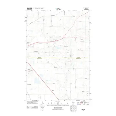
2013 Map of Cable
USGS Topo · Published 2013About this map
The Elk River and Mayhew Cr define the hydrological landscape of this region on the border of Benton and Sherburne Counties. The small settlement of Cable sits along the corridor of Us-10, surrounded by a mix of agricultural land and modern infrastructure. Aviation is a prominent feature of the area, anchored by the St Cloud Regional Airport and the nearby Aysta Field Airport.
Find a feature on this map
52 named features on this map. Tap any name to fly to it.
Don’t see what you’re looking for? This feature index may not catch every label — zoom into the map to look around manually.
Map Details
Editions of this 2013 Cable Map
This is the sole edition of this map. No revisions or reprints were ever made.
Other maps of this area

1950 · St. Cloud
USGS Topo · 1:62,500

1951 · Annandale
USGS Topo · 1:62,500

1953 · Saint Cloud
USGS Topo · 1:250,000

1953 · Stillwater
USGS Topo · 1:250,000

1955 · Stillwater
USGS Topo · 1:250,000

1957 · Saint Cloud
USGS Topo · 1:250,000

1958 · Stillwater
USGS Topo · 1:250,000

1958 · Saint Cloud
USGS Topo · 1:250,000

1961 · Clear Lake
USGS Topo · 1:24,000

1961 · Monticello
USGS Topo · 1:62,500