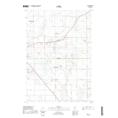
2019 Map of Cable
USGS Topo · Published 2019About this map
The boundary between Benton Co and Sherburne Co divides this landscape east of the Mississippi, dominated by the suburban expansion of St. Cloud and the industrial infrastructure serving the regional hub. The St Cloud Regional Airport occupies a significant portion of the central terrain, while the local history of the area is anchored by sites such as the Minnesota Reformatory Cem and Saint Patrick's Cem.
Find a feature on this map
46 named features on this map. Tap any name to fly to it.
Don’t see what you’re looking for? This feature index may not catch every label — zoom into the map to look around manually.
Map Details
Editions of this 2019 Cable Map
This is the sole edition of this map. No revisions or reprints were ever made.
Other maps of this area

1950 · St. Cloud
USGS Topo · 1:62,500

1951 · Annandale
USGS Topo · 1:62,500

1953 · Saint Cloud
USGS Topo · 1:250,000

1953 · Stillwater
USGS Topo · 1:250,000

1955 · Stillwater
USGS Topo · 1:250,000

1957 · Saint Cloud
USGS Topo · 1:250,000

1958 · Stillwater
USGS Topo · 1:250,000

1958 · Saint Cloud
USGS Topo · 1:250,000

1961 · Clear Lake
USGS Topo · 1:24,000

1961 · Monticello
USGS Topo · 1:62,500