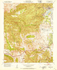
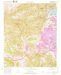
1952 Map of Calabasas
USGS Topo · Published 1953About this map
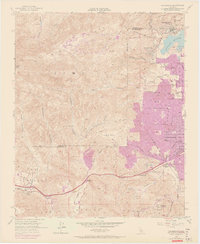
The Santa Monica Mountains and Simi Hills converge here, creating a rugged western edge to the San Fernando Valley in the early 1950s. This survey records the distinct mid-century character of Calabasas and Woodland Hills before widespread suburbanization reached these foothills. Notable local landmarks include the Motion Picture Country House and Hospital and the L A Pet Cemetery, reflecting the area's unique cultural ties.
Find a feature on this map
57 named features on this map. Tap any name to fly to it.
Don’t see what you’re looking for? This feature index may not catch every label — zoom into the map to look around manually.
Map Details
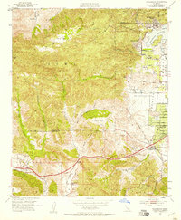
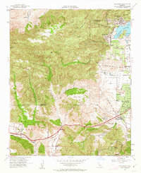
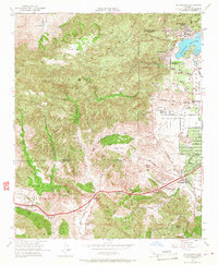
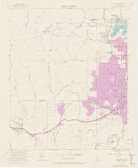
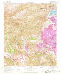
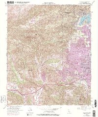
Editions of this 1952 Calabasas Map
9 editions found
Other maps of this area

1900 · Triunfo Pass
USGS Topo · 1:62,500

1900 · Piru
USGS Topo · 1:62,500

1903 · Calabasas
USGS Topo · 1:62,500

1903 · Camulos
USGS Topo · 1:125,000

1903 · Santa Susana
USGS Topo · 1:62,500

1921 · Piru
USGS Topo · 1:62,500

1921 · Triunfo Pass
USGS Topo · 1:62,500

1925 · Chatsworth
USGS Topo · 1:24,000

1927 · Chatsworth
USGS Topo · 1:24,000

1928 · Dry Canyon
USGS Topo · 1:24,000