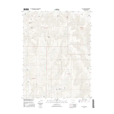
2016 Map of Calf Canyon
USGS Topo · Published 2016About this map
Williams Park and Bear Park anchor the high plateaus of this Colorado landscape, where intricate drainage systems define the movement of water across the terrain. Steep relief is evident through the naming of several deep conduits, including Dark Canyon and Windy Canyon, which channel snowmelt toward the lower basins. The presence of Barrel Spring and its associated landmarks, Barrel Spring Point and the forks of Right Fork Barrel Spring Cr, suggests a critical water source in an otherwise dry environment. Transportation through these elevations is largely limited to CO Hwy 256, which traverses the central ridges near Pike Ridge. This map captures the intersection of high-country grazing lands and the erosive forces of the Roan Cr and E Salt Cr watersheds, providing a clear record of land use and natural topography in the 21st century.
Find a feature on this map
32 named features on this map. Tap any name to fly to it.
Don’t see what you’re looking for? This feature index may not catch every label — zoom into the map to look around manually.
Map Details
Editions of this 2016 Calf Canyon Map
This is the sole edition of this map. No revisions or reprints were ever made.
Other maps of this area

1956 · Grand Junction
USGS Topo · 1:250,000

1959 · Grand Junction
USGS Topo · 1:250,000

1960 · Grand Junction
USGS Topo · 1:250,000

1962 · Grand Junction
USGS Topo · 1:250,000

1964 · Grand Junction
USGS Topo · 1:250,000

1964 · Douglas Pass
USGS Topo · 1:24,000

1964 · Brushy Point
USGS Topo · 1:24,000

1964 · Henderson Ridge
USGS Topo · 1:24,000

1964 · Calf Canyon
USGS Topo · 1:24,000
1964 · Razorback Ridge
USGS Topo · 1:24,000