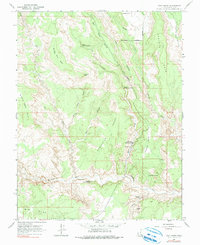
1964 Map of Calf Creek
USGS Topo · Published 1990About this map
Escalante Natural Bridge and a series of dramatic arches define this stretch of canyon country, where the Escalante River carves through high desert plateaus. The landscape is marked by prominent benches, including New Home Bench and Bowington Bench, while the McGath Trail provides a documented route across the high ground of McGath Point. Water features are central to the geography here, with Calf Creek dropping over the Upper Calf Creek Falls and Lower Calf Creek Falls before joining the main river.
Find a feature on this map
28 named features on this map. Tap any name to fly to it.
Don’t see what you’re looking for? This feature index may not catch every label — zoom into the map to look around manually.
Map Details
Editions of this 1964 Calf Creek Map
5 editions found
Other maps of this area

1886 · Escalante
USGS Topo · 1:250,000

1953 · Circle Cliffs 2 NE
USGS Topo · 1:24,000

1956 · Escalante
USGS Topo · 1:250,000

1960 · Escalante
USGS Topo · 1:250,000

1964 · Tenmile Flat
USGS Topo · 1:24,000
1964 · King Bench
USGS Topo · 1:24,000

1964 · Dave Canyon
USGS Topo · 1:24,000
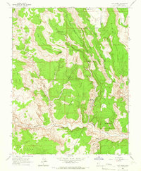
1964 · Calf Creek
USGS Topo · 1:24,000
1964 · Steep Creek Bench
USGS Topo · 1:24,000
1964 · Red Breaks
USGS Topo · 1:24,000