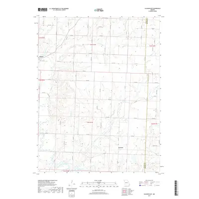
2017 Map of Calhoun East
USGS Topo · Published 2017About this map
Calhoun anchors the northwest corner of this rural landscape where Henry and Benton counties meet. The terrain is defined by an intricate network of waterways, most notably the winding paths of Middle Fork Tebo Cr and E Fork Tebo Cr. These streams converge and flow southward toward the northern reaches of the Harry S Truman Reservoir, which dominates the southern boundary of the map. The area is characterized by a dense grid of local roads, such as Ne 900 RD and Ne 800 RD, providing access to the rolling drainage basins of Barker Cr and Duck Cr. The road network and waterway crossings offer a detailed look at the agricultural footprint and land divisions in this part of West-Central Missouri during the early twenty-first century.
Find a feature on this map
65 named features on this map. Tap any name to fly to it.
Don’t see what you’re looking for? This feature index may not catch every label — zoom into the map to look around manually.
Map Details
Editions of this 2017 Calhoun East Map
This is the sole edition of this map. No revisions or reprints were ever made.
Other maps of this area

1885 · Warrensburg
USGS Topo · 1:125,000

1887 · Clinton
USGS Topo · 1:125,000

1887 · Sedalia
USGS Topo · 1:125,000

1887 · Warsaw
USGS Topo · 1:125,000

1887 · Warrensburg
USGS Topo · 1:125,000

1894 · Warsaw
USGS Topo · 1:125,000

1894 · Sedalia
USGS Topo · 1:125,000

1894 · Warrensburg
USGS Topo · 1:125,000

1894 · Clinton
USGS Topo · 1:125,000

1936 · Shawnee Bend
USGS Topo · 1:24,000