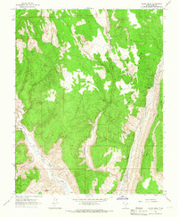
1964 Map of Calico Peak
USGS Topo · Published 1966About this map
Calico Peak rises above a dramatic Southern Utah landscape defined by the winding course of the Paria River and the stark geological ridge of The Cocscomb. Surveyed in the late 1950s and mid-1960s, this area reveals a network of deep drainage systems including Lower Death Valley and Upper Death Valley, which feed into the rugged Hackberry Canyon. The map documents a primitive transportation network, primarily consisting of a Jeep Trail that skirts the river and canyons, reflecting the area's isolation before modern accessibility. Notable landmarks like No Mans Mesa and a Natural Arch illustrate the erosion-carved terrain, while a lonely Campground near Cottonwood Creek provides one of the few signs of recreational use in this territory of the Deer Range Canyon.
Find a feature on this map
20 named features on this map. Tap any name to fly to it.
Don’t see what you’re looking for? This feature index may not catch every label — zoom into the map to look around manually.
Map Details
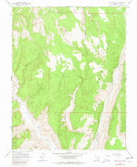
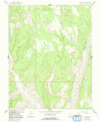
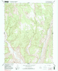
Editions of this 1964 Calico Peak Map
4 editions found
Other maps of this area

1886 · Kanab
USGS Topo · 1:250,000

1886 · Escalante
USGS Topo · 1:250,000

1953 · Cedar City
USGS Topo · 1:250,000

1954 · Buckskin Gulch NE
USGS Topo · 1:24,000

1954 · Paria NW
USGS Topo · 1:24,000

1954 · Buckskin Gulch
USGS Topo · 1:62,500

1954 · Paria
USGS Topo · 1:62,500

1955 · The Cockscob SW
USGS Topo · 1:24,000

1956 · Escalante
USGS Topo · 1:250,000

1958 · Cedar City
USGS Topo · 1:250,000