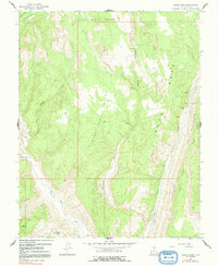
1964 Map of Calico Peak
USGS Topo · Published 1992About this map
Paria sits near the confluence of the Paria River and Cottonwood Creek, serving as a focal point for this high-desert landscape in the mid-1960s. The terrain is defined by dramatic geological features, most notably the towering ridge of The Cockscomb and the unique formation known as Cads Crotch. These ridges flank the drainage of Rush Beds, where several springs provide rare water sources in an otherwise arid environment.
Find a feature on this map
19 named features on this map. Tap any name to fly to it.
Don’t see what you’re looking for? This feature index may not catch every label — zoom into the map to look around manually.
Map Details
Editions of this 1964 Calico Peak Map
4 editions found
Other maps of this area

1886 · Kanab
USGS Topo · 1:250,000

1886 · Escalante
USGS Topo · 1:250,000

1953 · Cedar City
USGS Topo · 1:250,000

1954 · Buckskin Gulch NE
USGS Topo · 1:24,000

1954 · Paria NW
USGS Topo · 1:24,000

1954 · Buckskin Gulch
USGS Topo · 1:62,500

1954 · Paria
USGS Topo · 1:62,500

1955 · The Cockscob SW
USGS Topo · 1:24,000

1956 · Escalante
USGS Topo · 1:250,000

1958 · Cedar City
USGS Topo · 1:250,000