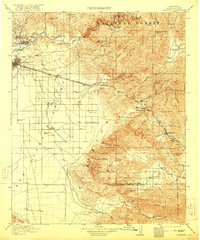
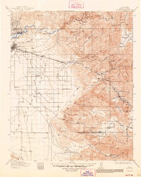
1914 Map of Caliente
USGS Topo · Published 1921About this map
Bakersfield serves as the focal point for this Kern County landscape, where the flat agricultural valley meets the rising foothills of the Sequoia National Forest. The map documents a period of transition in the early 20th century, capturing the early industrial footprint of Oil Center and Oil City along the Kern River. To the east, the engineering complexity of the era is evident where the Southern Pacific tracks navigate the steep ascent toward The Loop, a famous spiral designed to overcome the elevation of the Tehachapi Pass.
Find a feature on this map
74 named features on this map. Tap any name to fly to it.
Don’t see what you’re looking for? This feature index may not catch every label — zoom into the map to look around manually.
Map Details
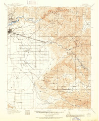
Editions of this 1914 Caliente Map
7 editions found
Other maps of this area

1903 · Mt. Pinos
USGS Topo · 1:125,000

1903 · Tejon
USGS Topo · 1:125,000

1906 · Bakersfield
USGS Topo · 1:62,500

1906 · Kernville
USGS Topo · 1:125,000

1908 · Kernville
USGS Topo · 1:125,000

1910 · Buena Vista Lake
USGS Topo · 1:125,000

1912 · Buena Vista Lake
USGS Topo · 1:125,000

1914 · Caliente
USGS Topo · 1:125,000

1915 · Elizabeth Lake
USGS Topo · 1:125,000

1915 · Mojave
USGS Topo · 1:125,000