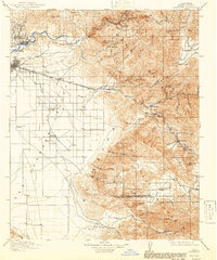
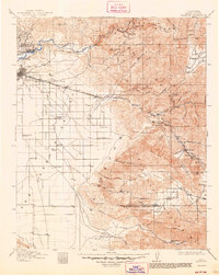
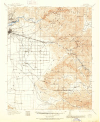
1914 Map of Caliente
USGS Topo · Published 1941About this map
The San Joaquin Valley floor meets the dramatic rise of the Sierra Nevada and Tehachapi Mountains in this early twentieth-century survey. While Bakersfield appears as a growing hub, the northern edge of the map highlights the region's industrial beginnings at Oil Center and Oil City. The southern terrain is dominated by cattle-ranching heritage, centered around the sprawling Tejon Ranch and the family-run Rankin Ranch.
Find a feature on this map
104 named features on this map. Tap any name to fly to it.
Don’t see what you’re looking for? This feature index may not catch every label — zoom into the map to look around manually.
Map Details
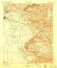
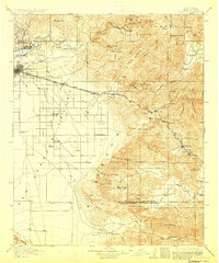
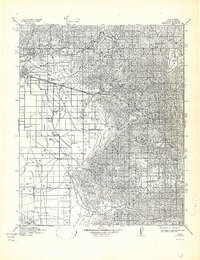
Editions of this 1914 Caliente Map
7 editions found
Other maps of this area

1903 · Mt. Pinos
USGS Topo · 1:125,000

1903 · Tejon
USGS Topo · 1:125,000

1906 · Bakersfield
USGS Topo · 1:62,500

1906 · Kernville
USGS Topo · 1:125,000

1908 · Kernville
USGS Topo · 1:125,000

1910 · Buena Vista Lake
USGS Topo · 1:125,000

1912 · Buena Vista Lake
USGS Topo · 1:125,000

1914 · Caliente
USGS Topo · 1:125,000

1915 · Elizabeth Lake
USGS Topo · 1:125,000

1915 · Mojave
USGS Topo · 1:125,000