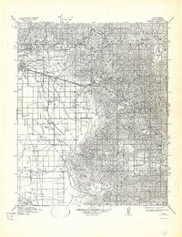
1914 Map of Caliente
USGS Topo · Published 1942About this map
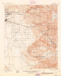
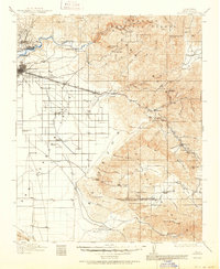
The Kern River flows through a landscape defined by the transition from the fertile San Joaquin Valley floor to the rising peaks of the southern Sierra Nevada. In the early twentieth century, this region served as a vital corridor for both agriculture and transportation, with the Southern Pacific and San Francisco railroad linking the burgeoning city of Bakersfield to eastern passes. The map documents a network of rural schoolhouses that supported scattered ranching communities, including Walker Basin School, Rock Pile School, and Tejon Canyon School. Strategic waypoints such as Cottonwood Station and Adobe Sta reflect the era's reliance on fixed transit points along the valley edge. Large landholdings like the Rankin Ranch and Towne Ranch dominate the foothills, while the high country is marked by prominent landmarks like Breckenridge Mtn and Mt Adelaide.
Find a feature on this map
33 named features on this map. Tap any name to fly to it.
Don’t see what you’re looking for? This feature index may not catch every label — zoom into the map to look around manually.
Map Details
Editions of this 1914 Caliente Map
7 editions found
Other maps of this area

1903 · Mt. Pinos
USGS Topo · 1:125,000

1903 · Tejon
USGS Topo · 1:125,000

1906 · Bakersfield
USGS Topo · 1:62,500

1906 · Kernville
USGS Topo · 1:125,000

1908 · Kernville
USGS Topo · 1:125,000

1910 · Buena Vista Lake
USGS Topo · 1:125,000

1912 · Buena Vista Lake
USGS Topo · 1:125,000

1914 · Caliente
USGS Topo · 1:125,000

1915 · Elizabeth Lake
USGS Topo · 1:125,000

1915 · Mojave
USGS Topo · 1:125,000