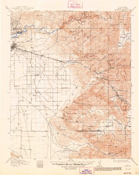
1914 Map of Caliente
USGS Topo · Published 1948About this map
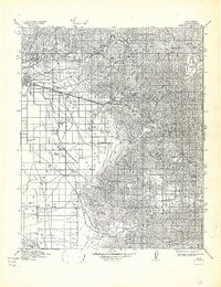
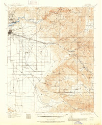
The Kern River carves through the northern foothills of the Sierra Nevada, where the petroleum industry is firmly established at Oil Center and Oil City. On the valley floor, the expansion of Bakersfield is evident, supported by a network of schools such as Fairfax School and Mountain View School. The landscape transitions from the agricultural San Joaquin Valley into the steep Tejon Hills and the rugged reaches of the Sequoia National Forest.
Find a feature on this map
83 named features on this map. Tap any name to fly to it.
Don’t see what you’re looking for? This feature index may not catch every label — zoom into the map to look around manually.
Map Details
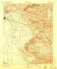
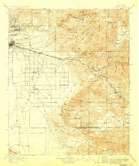
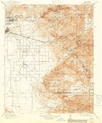
Editions of this 1914 Caliente Map
7 editions found
Other maps of this area

1903 · Mt. Pinos
USGS Topo · 1:125,000

1903 · Tejon
USGS Topo · 1:125,000

1906 · Bakersfield
USGS Topo · 1:62,500

1906 · Kernville
USGS Topo · 1:125,000

1908 · Kernville
USGS Topo · 1:125,000

1910 · Buena Vista Lake
USGS Topo · 1:125,000

1912 · Buena Vista Lake
USGS Topo · 1:125,000

1914 · Caliente
USGS Topo · 1:125,000

1915 · Elizabeth Lake
USGS Topo · 1:125,000

1915 · Mojave
USGS Topo · 1:125,000