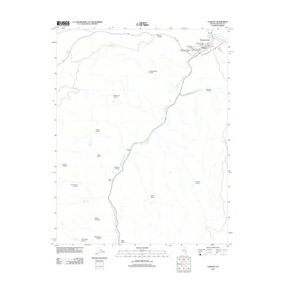
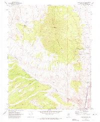
2012 Map of Caliente
USGS Topo · Published 2012About this map
Caliente serves as the focal point of this Nevada landscape, where the confluence of Clover Creek and Meadow Valley Wash shaped the settlement's early development. The town's historical significance is evident in its concentration of civic and community landmarks, including the Caliente Post Office and three distinct burial grounds: the Caliente City Cemetery, the Independent Order of Odd Fellows Cemetery, and the Conway Memorial Park Veterans Cemetery. To the northeast, Caliente Hot Springs indicates the geothermal activity that defines this corner of Lincoln County.
Find a feature on this map
38 named features on this map. Tap any name to fly to it.
Don’t see what you’re looking for? This feature index may not catch every label — zoom into the map to look around manually.
Map Details
Editions of this 2012 Caliente Map
This is the sole edition of this map. No revisions or reprints were ever made.
Other maps of this area

1885 · Pioche
USGS Topo · 1:250,000

1886 · Pioche
USGS Topo · 1:250,000

1954 · Caliente
USGS Topo · 1:250,000

1959 · Caliente
USGS Topo · 1:250,000

1969 · Elgin NE
USGS Topo · 1:24,000

1969 · Slidy Mountain
USGS Topo · 1:24,000
1970 · Caliente NW
USGS Topo · 1:24,000
1970 · Caliente
USGS Topo · 1:24,000
1970 · Chokecherry Mtn.
USGS Topo · 1:24,000
1970 · Chief Mountain
USGS Topo · 1:24,000