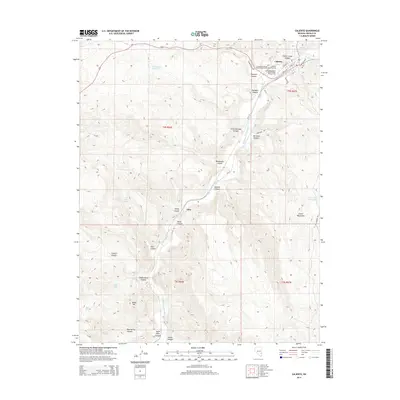
2014 Map of Caliente
USGS Topo · Published 2014About this map
Caliente serves as the primary hub in this Lincoln County landscape, situated where the Meadow Valley Wash meets the confluence of several deep canyons. The town's layout is defined by streets such as Front St and Main St, with a significant cluster of burial grounds including the Conway Memorial Park Veterans Cem, the Independent Order of Odd Fellows Cem, and the Caliente City Cem. This concentration of cemeteries provides a unique genealogical focal point for the region.
Find a feature on this map
45 named features on this map. Tap any name to fly to it.
Don’t see what you’re looking for? This feature index may not catch every label — zoom into the map to look around manually.
Map Details
Editions of this 2014 Caliente Map
This is the sole edition of this map. No revisions or reprints were ever made.
Other maps of this area

1885 · Pioche
USGS Topo · 1:250,000

1886 · Pioche
USGS Topo · 1:250,000

1954 · Caliente
USGS Topo · 1:250,000

1959 · Caliente
USGS Topo · 1:250,000

1969 · Elgin NE
USGS Topo · 1:24,000

1969 · Slidy Mountain
USGS Topo · 1:24,000
1970 · Caliente NW
USGS Topo · 1:24,000
1970 · Caliente
USGS Topo · 1:24,000
1970 · Chokecherry Mtn.
USGS Topo · 1:24,000
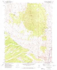
1970 · Chief Mountain
USGS Topo · 1:24,000