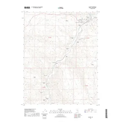
2018 Map of Caliente
USGS Topo · Published 2018About this map
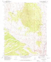
Caliente serves as the focal point of this landscape, situated at the confluence where Meadow Valley Wash meets the opening of Clover Creek Canyon. This 2018 survey reveals the community's established infrastructure, including the Caliente City Cem and the Independent Order of Odd Fellows Cem, alongside the historic Caliente Hot Springs. To the south, the settlement of Etna sits along the wash, positioned between the steep walls of Buckboard Canyon and Hardy Canyon.
Find a feature on this map
43 named features on this map. Tap any name to fly to it.
Don’t see what you’re looking for? This feature index may not catch every label — zoom into the map to look around manually.
Map Details
Editions of this 2018 Caliente Map
This is the sole edition of this map. No revisions or reprints were ever made.
Other maps of this area

1885 · Pioche
USGS Topo · 1:250,000

1886 · Pioche
USGS Topo · 1:250,000

1954 · Caliente
USGS Topo · 1:250,000

1959 · Caliente
USGS Topo · 1:250,000

1969 · Elgin NE
USGS Topo · 1:24,000

1969 · Slidy Mountain
USGS Topo · 1:24,000
1970 · Caliente NW
USGS Topo · 1:24,000
1970 · Caliente
USGS Topo · 1:24,000
1970 · Chokecherry Mtn.
USGS Topo · 1:24,000
1970 · Chief Mountain
USGS Topo · 1:24,000