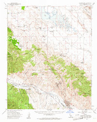
1959 Map of Caliente Mountain
USGS Topo · Published 1961About this map
The Caliente Range dominates this mid-century landscape, separating the arid expanse of the Carrizo Plain from the Cuyama Valley. This 1959 survey reveals an economy deeply rooted in both ranching and petroleum extraction, with extensive holdings like Chimineas Ranch, Spanish Ranch, and Goodwin Ranch marking the territory. The presence of the Russel Ranch Oil Field, Morales Canyon Oil Field, and Taylor Canyon Oil Field underscores the industrial significance of the Cuyama area during this period. In the north, the seasonally fluctuating Soda Lake sits at the base of the Temblor Range, while landmarks like Painted Rock and the high point of Caliente Mtn define the topography. Along the southern border, the Cuyama River carves a path through the valley, tracing the boundary between San Luis Obispo and Santa Barbara counties.
Find a feature on this map
52 named features on this map. Tap any name to fly to it.
Don’t see what you’re looking for? This feature index may not catch every label — zoom into the map to look around manually.
Map Details
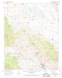
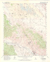
Editions of this 1959 Caliente Mountain Map
3 editions found
Other maps of this area

1902 · Santa Ynez
USGS Topo · 1:125,000

1905 · Santa Ynez
USGS Topo · 1:125,000

1905 · Lompoc
USGS Topo · 1:125,000

1912 · McKittrick
USGS Topo · 1:125,000

1932 · La Panza
USGS Topo · 1:48,000

1935 · La Panza
USGS Topo · 1:62,500

1936 · La Panza
USGS Topo · 1:62,500

1937 · Branch Mtn
USGS Topo · 1:48,000

1941 · Caliente Mountain
USGS Topo · 1:62,500

1941 · McPherson Peak
USGS Topo · 1:62,500