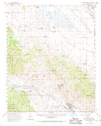
1959 Map of Caliente Mountain
USGS Topo · Published 1968About this map
Soda Lake and the arid expanse of the Carrizo Plain define the northern half of this mid-century survey, a landscape of seasonal alkaline basins and scattered cattle operations. The map documents a transition from the traditional ranching economy, represented by the Chimineas Ranch, Painted Rock Ranch, and Goodwin Ranch, to the industrial extraction along the Cuyama River. This southern corridor is heavily marked by the expansion of petroleum infrastructure, including the Russel Ranch Oil Field, Morales Canyon Oil Field, and Government Oil Field. Large land grants are still recognized in the terrain, such as the lands of the heirs of Cesario Lataillade. The survey also tracks several historic water sources vital for survival in this rain-shadow environment, such as Black Sulphur Spring and Five Willow Spring.
Find a feature on this map
57 named features on this map. Tap any name to fly to it.
Don’t see what you’re looking for? This feature index may not catch every label — zoom into the map to look around manually.
Map Details
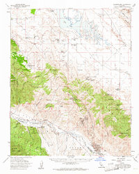
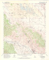
Editions of this 1959 Caliente Mountain Map
3 editions found
Other maps of this area

1902 · Santa Ynez
USGS Topo · 1:125,000

1905 · Santa Ynez
USGS Topo · 1:125,000

1905 · Lompoc
USGS Topo · 1:125,000

1912 · McKittrick
USGS Topo · 1:125,000

1932 · La Panza
USGS Topo · 1:48,000

1935 · La Panza
USGS Topo · 1:62,500

1936 · La Panza
USGS Topo · 1:62,500

1937 · Branch Mtn
USGS Topo · 1:48,000

1941 · Caliente Mountain
USGS Topo · 1:62,500

1941 · McPherson Peak
USGS Topo · 1:62,500