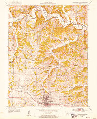
1952 Map of California North
USGS Topo · Published 1953About this map
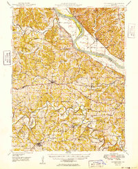
California serves as the focal point of this early 1950s survey, showing the town's layout during a period of mid-century growth along the Missouri Pacific railroad. The surrounding landscape in Moniteau and Cooper Counties is defined by the winding course of Moniteau Creek and its many tributaries, including Gooseberry Hollow and East Brush Creek. This era was one of transition for rural education and community centers, evidenced by several school buildings and churches noted as abandoned, such as the North Carolina Sch and Old Salem Ch. Family-named landmarks and cemeteries like Strickfaden Cem, Schmutz Cem, and Howard Cem provide specific points for genealogical research. Further out, the rural character is underscored by small settlements like Kliever and the presence of the Steelhouse Bridge crossing the creek.
Find a feature on this map
39 named features on this map. Tap any name to fly to it.
Don’t see what you’re looking for? This feature index may not catch every label — zoom into the map to look around manually.
Map Details
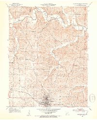
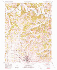
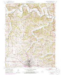
Editions of this 1952 California North Map
4 editions found
Other maps of this area

1886 · Jefferson City
USGS Topo · 1:125,000

1888 · Boonville
USGS Topo · 1:125,000

1894 · Jefferson City
USGS Topo · 1:125,000

1947 · Jefferson City
USGS Topo · 1:250,000

1948 · Centertown
USGS Topo · 1:62,500

1948 · Columbia
USGS Topo · 1:62,500
1949 · Centertown
USGS Topo · 1:62,500

1950 · Columbia
USGS Topo · 1:62,500

1951 · California South
USGS Topo · 1:24,000

1951 · Latham
USGS Topo · 1:24,000