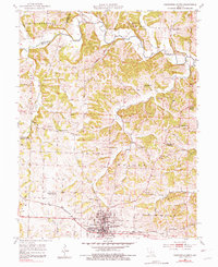
1952 Map of California North
USGS Topo · Published 1981About this map
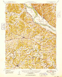
California serves as the focal point of this Moniteau County landscape during the early 1950s, situated at a vital junction of the Missouri Pacific railroad and regional roadways. The survey reveals a high density of rural social infrastructure, particularly a series of small schoolhouses and churches that anchored these farming communities before mid-century consolidation. While Aurora High School remains active in town, the outskirts are dotted with several vacated educational sites, such as North Carolina Sch and High Prairie Sch. The drainage network, dominated by the winding path of Moniteau Creek and its many tributaries like Gooseberry Hollow and East Brush Creek, historically dictated the placement of landmarks such as the Steelhouse Bridge. This map also documents family-named cemeteries including Strickfaden Cem and Block Cem, providing essential geographic context for the area's genealogical history.
Find a feature on this map
38 named features on this map. Tap any name to fly to it.
Don’t see what you’re looking for? This feature index may not catch every label — zoom into the map to look around manually.
Map Details
Editions of this 1952 California North Map
4 editions found
Other maps of this area

1886 · Jefferson City
USGS Topo · 1:125,000

1888 · Boonville
USGS Topo · 1:125,000

1894 · Jefferson City
USGS Topo · 1:125,000

1947 · Jefferson City
USGS Topo · 1:250,000

1948 · Centertown
USGS Topo · 1:62,500

1948 · Columbia
USGS Topo · 1:62,500
1949 · Centertown
USGS Topo · 1:62,500

1950 · Columbia
USGS Topo · 1:62,500

1951 · California South
USGS Topo · 1:24,000

1951 · Latham
USGS Topo · 1:24,000